File:2009 07 12 42 -72 river.jpg
From Geohashing
Revision as of 15:12, 30 January 2020 by Maintenance script (talk | contribs) (Maintenance script uploaded File:2009 07 12 42 -72 river.jpg)
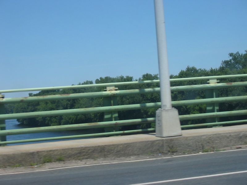
Size of this preview: 800 × 600 pixels. Other resolutions: 320 × 240 pixels | 1,600 × 1,200 pixels.
Original file (1,600 × 1,200 pixels, file size: 378 KB, MIME type: image/jpeg)
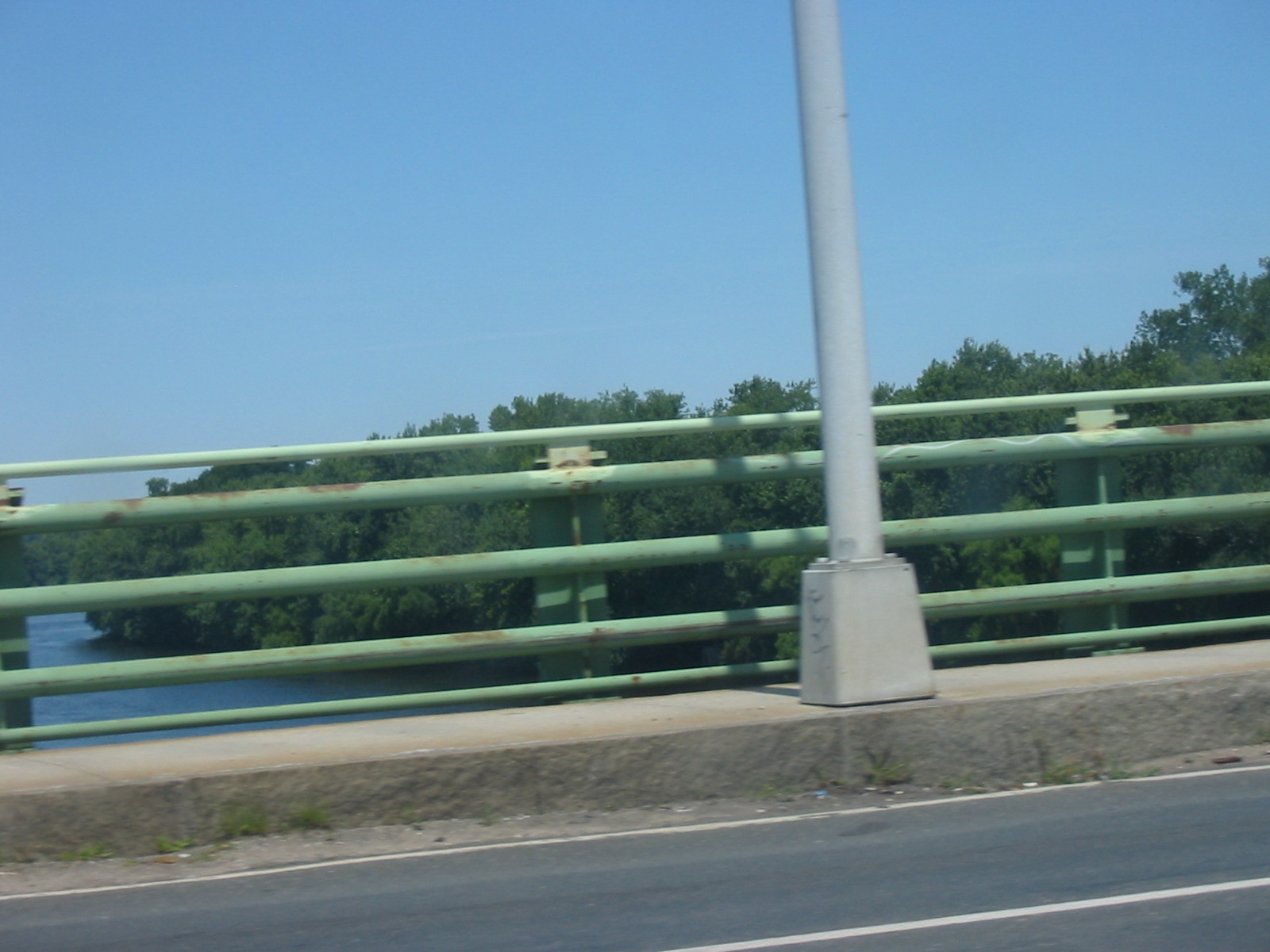
My daughter took this picture from the car on the way home. This is the Connecticut river, which divides Springfield from West Springfield.
File history
Click on a date/time to view the file as it appeared at that time.
| Date/Time | Thumbnail | Dimensions | User | Comment | |
|---|---|---|---|---|---|
| current | 15:12, 30 January 2020 | | 1,600 × 1,200 (378 KB) | Maintenance script (talk | contribs) |
- You cannot overwrite this file.
File usage
The following page links to this file: