File:2011 02 18 53 -1 BuildingEnd2PlusMarker.png
From Geohashing
Revision as of 16:14, 30 January 2020 by Maintenance script (talk | contribs) (Maintenance script uploaded File:2011 02 18 53 -1 BuildingEnd2PlusMarker.png)
No higher resolution available.
2011_02_18_53_-1_BuildingEnd2PlusMarker.png (640 × 480 pixels, file size: 582 KB, MIME type: image/png)
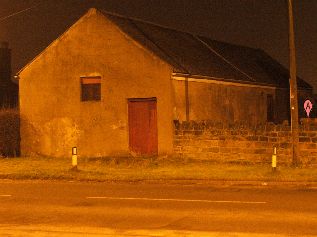
It doesn't look like it, but I put a lot of effort into getting that "Google marker" pasted onto the building to look as if it was on the side (and the bottom obscured by the wall). Anyway, that's where the Internet claims the geohash point to be, more or less on the end of that building's wall, well away from the road.
File history
Click on a date/time to view the file as it appeared at that time.
| Date/Time | Thumbnail | Dimensions | User | Comment | |
|---|---|---|---|---|---|
| current | 16:14, 30 January 2020 | | 640 × 480 (582 KB) | Maintenance script (talk | contribs) |
- You cannot overwrite this file.
File usage
The following 4 pages link to this file: