File:2011 02 24 53 -1 WinnatsPassAproach.png
From Geohashing
Revision as of 15:30, 30 January 2020 by Maintenance script (talk | contribs) (Maintenance script uploaded File:2011 02 24 53 -1 WinnatsPassAproach.png)
No higher resolution available.
2011_02_24_53_-1_WinnatsPassAproach.png (640 × 480 pixels, file size: 448 KB, MIME type: image/png)
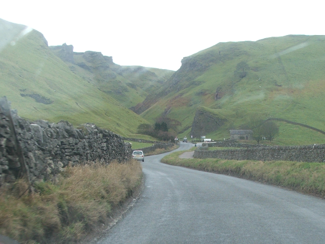
The drive up to Winnat's Pass is impressive. As is the drive up. Cycling or walking up is another matter, and there used to be a regular nationally-favoured cycle Hill Climb up this road (before Mam Tor was closed, and this road could not be easily closed to traffic for the duration) which the crowds would line the road and hillsides to watch. I suppose "breathtaking" would cover all the bases.
File history
Click on a date/time to view the file as it appeared at that time.
| Date/Time | Thumbnail | Dimensions | User | Comment | |
|---|---|---|---|---|---|
| current | 15:30, 30 January 2020 | | 640 × 480 (448 KB) | Maintenance script (talk | contribs) |
- You cannot overwrite this file.
File usage
The following page links to this file: