File:2012-10-30-47-8-map.png
From Geohashing

Size of this preview: 360 × 600 pixels. Other resolutions: 144 × 240 pixels | 480 × 800 pixels.
Original file (480 × 800 pixels, file size: 40 KB, MIME type: image/png)
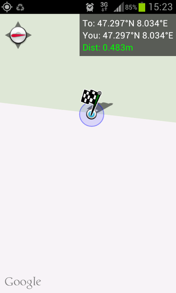
Geohash Droid map - reached!
File history
Click on a date/time to view the file as it appeared at that time.
| Date/Time | Thumbnail | Dimensions | User | Comment | |
|---|---|---|---|---|---|
| current | 17:18, 30 January 2020 | | 480 × 800 (40 KB) | Maintenance script (talk | contribs) |
- You cannot overwrite this file.
File usage
The following page links to this file: