File:2017-11-16 map.png
From Geohashing
No higher resolution available.
2017-11-16_map.png (288 × 512 pixels, file size: 155 KB, MIME type: image/png)
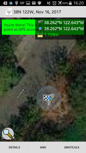
This is where I was when it told me I had made it (though not the closest I got).
File history
Click on a date/time to view the file as it appeared at that time.
| Date/Time | Thumbnail | Dimensions | User | Comment | |
|---|---|---|---|---|---|
| current | 15:03, 30 January 2020 | | 288 × 512 (155 KB) | Maintenance script (talk | contribs) |
- You cannot overwrite this file.
File usage
The following page links to this file: