File:2022-01-30 40 -4 track map.png
From Geohashing
Revision as of 15:47, 31 January 2022 by Wingman (talk | contribs) (Category: Meetup on 2022-01-30 Category: Meetup in 40 -4 The track visualized by GPS Visualizer.)
Size of this preview: 600 × 600 pixels. Other resolutions: 240 × 240 pixels | 1,572 × 1,572 pixels.
Original file (1,572 × 1,572 pixels, file size: 1.25 MB, MIME type: image/png)
Summary
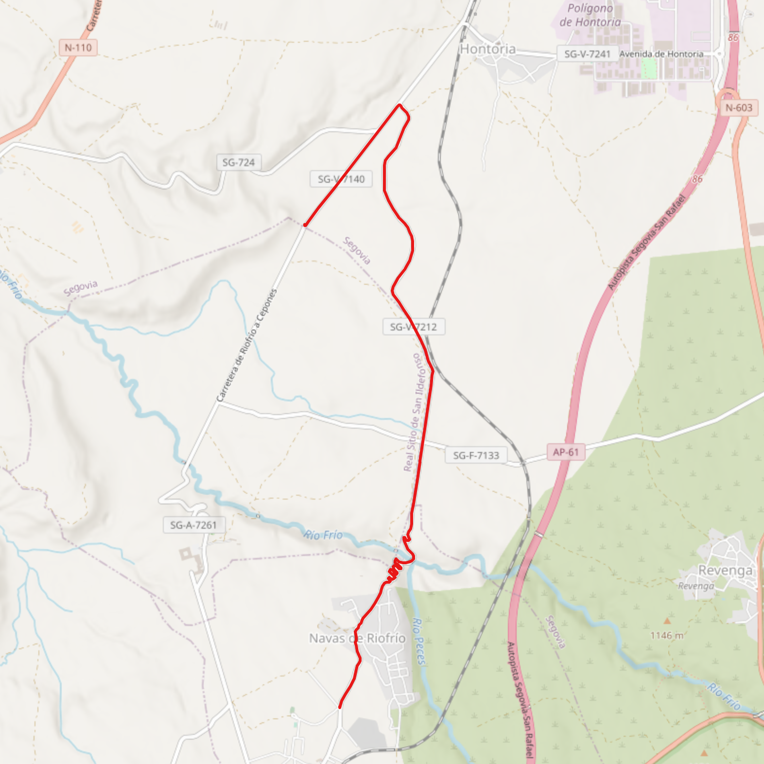
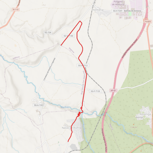
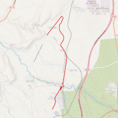
The track visualized by GPS Visualizer.
File history
Click on a date/time to view the file as it appeared at that time.
| Date/Time | Thumbnail | Dimensions | User | Comment | |
|---|---|---|---|---|---|
| current | 15:47, 31 January 2022 | | 1,572 × 1,572 (1.25 MB) | Wingman (talk | contribs) | Category: Meetup on 2022-01-30 Category: Meetup in 40 -4 The track visualized by GPS Visualizer. |
- You cannot overwrite this file.
File usage
There are no pages that link to this file.