Norwich, United Kingdom
- Norwich and Adjacent Locations Today - All Expeditions in 52, 1
- KML - Yesterday - Today - Tomorrow - Tomorrow + 1 - Tomorrow + 2 - Other
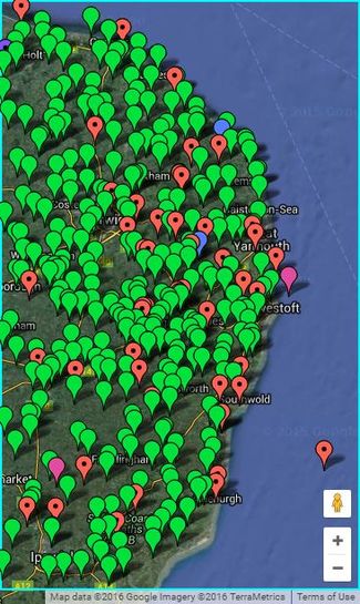
Expeditions in 52, 1.Click the map for more details. Download the KML file. |
|
| ||||||||||||
About Norwich
The 52,1 graticule covers the parts of the United Kingdom from 52° to 53° latitude, and from 1° to 2° longitude. This includes parts of Norfolk and Suffolk with their coastlines. The Reverse regional achievement is easily achieved by geohashing both these counties. 57% is land. In an average month there might be 17 land geohashes with 15 reachable so it's a "coin toss" whether or not you can reach coordinates on any given day. The north coast is in sea area Humber. The east is Thames.
Most of the terrain is agricultural. Some areas are very flat. Other areas include low rolling hills. This easy terrain, full of public footpaths, is balanced by coastal mud flats and salt marshes which can be tricky to reach. The Norfolk and Suffolk Broads cover a sizeable area with rivers, canals and man-made broads (lakes) created by peat digging.
2018 Expeditions
If you're planning an expedition, please add to this section. People actively watch it and they might try to join you.
May 2018
All geohashers are cordially invited to the 10th anniversary 2018 geohashing day meetup in the Cambridge UK graticule.
- 21 May 2018 (Mon): An excellent celebration of Geohashing Day will take place at 4pm local time at a place yet to be determined.
- 26 May 2018 (Sat): is Mouse Over Day and might be more convenient so the invitation applies to this day too.