Difference between revisions of "Prairie City, Oregon"
From Geohashing
(Added Deflowered Graticule) |
m (per Renaming Proposal) |
||
| Line 40: | Line 40: | ||
[[Category:Inactive graticules]] | [[Category:Inactive graticules]] | ||
[[Category:Oregon]] | [[Category:Oregon]] | ||
| − | [[Category: | + | [[Category:Unlocked graticules]] |
Revision as of 02:17, 20 March 2024
| Hermiston | Pendleton | Enterprise |
| Kimberly | Prairie City | Baker City |
| Hines | Buchanan | Vale |
|
Today's location: geohashing.info google osm bing/os kml crox | ||
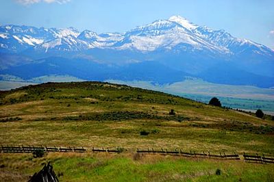
Well over half of the land in this graticule falls in the rugged hills of the Umatilla and Malheur National Forests. Of the handful of small towns in the region, John Day and Prairie City are the largest; they are in the scenic agricultural John Day Valley in the west central portion of the quadrant.
Expedition History
2011-09-19 44 -118
Michael5000 took a short hike to a hashpoint southeast of Unity.
2011-07-16 44 -118
Michael5000 and Mrs.5000 were thwarted in the first recorded attempt at this graticule because the hashpoint fell in fenced agricultural land.
