Difference between revisions of "User:Stand"
From Geohashing
imported>Stand |
imported>Stand |
||
| Line 7: | Line 7: | ||
| tracklog = http://connect.garmin.com/modern/activity/637974218 | | tracklog = http://connect.garmin.com/modern/activity/637974218 | ||
| possessive = his | | possessive = his | ||
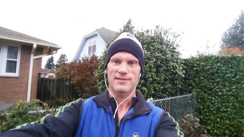
| − | | image = Out_for_morning_run.jpeg | + | | image = [[File: Out_for_morning_run.jpeg]] |
}} | }} | ||
{{Walk geohash | {{Walk geohash | ||
Revision as of 00:42, 23 November 2014
![]() 2014-11-22 47 -122 The corner of 112th and Palatine in Northwest Seattle.
2014-11-22 47 -122 The corner of 112th and Palatine in Northwest Seattle.
Stand earned the Tron achievement
|
Stand earned the Walk geohash Achievement
|
![]() 2014-06-12 47 -122 Just east of Roosevelt Ave at 104th in Northeast Seattle.
2014-06-12 47 -122 Just east of Roosevelt Ave at 104th in Northeast Seattle.
Stand earned the Tron achievement
|
Stand earned the Bicycle geohash achievement
|
![]() 2014-03-11 47 -122 -- Middle of the 80th just east of 24th Av NW
2014-03-11 47 -122 -- Middle of the 80th just east of 24th Av NW
Stand earned the Walk geohash Achievement
|
![]() 2014-01-25 47 -122 -- On the playfield of Pinehurst K-8 School near Northgate - with Thomcat, Rex Wolf and partner, and Thomcat
2014-01-25 47 -122 -- On the playfield of Pinehurst K-8 School near Northgate - with Thomcat, Rex Wolf and partner, and Thomcat
Stand earned the Meet-up achievement
|
![]() 2012-08-16 47 -122 -- Seattle, the middle of Latona Avenue NE, just south of 51st NE.
2012-08-16 47 -122 -- Seattle, the middle of Latona Avenue NE, just south of 51st NE.
Stand earned the Walk geohash Achievement
|
![]() 2012-06-09 47 -122 -- In a gas station parking lot in downtown Tacoma.
2012-06-09 47 -122 -- In a gas station parking lot in downtown Tacoma.
