User talk:Kydlt
My first geohash today. I was coming home to Stevenson, WA from Humboldt in NoCal and stopped outside Salem OR, in the bottom corner of the Portland graticule at 45.029225°, -122.973691. 1/2 way from the equator to the pole. When leaving my hotel this morning in Grants Pass I checked for spots along the way. This one was right off I-5. So a quick exit and a short walk on a muddy field, & there I was. Now all I have to do is learn how to post this info.
- Good starting point. The "Help" page on the left sidebar has a lot of useful info, including a page
on "Reporting on your expedition". Welcome to Geohashing. I'll create the report page for you as a start. Jiml 00:27, 30 December 2010 (EST)
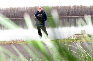
2nd one today, between PDX & the Columbia. I'm still working on the posting photos thing. I have uploaded 2, but I'm not sure where to. I have blank squares showing up. 27 Feb, 2011
Welcome
Hi Kydlt! Welcome to the game! The wiki is a bit challenging indeed - I have no clue why everyone is using this particular software. Your photos are here (look at the source text of the page for the links): File:Chalk_msg.JPG - File:Down_by_the_riverside.JPG - You can link to them with their name in double square brackets.
Did you find the guides already?
- Help:Contents for a bit of everything, it's linked to in the left sidebar.
- Expedition for creating expedition pages, there is a section on uploading photos too.
The people who wrote them will be very happy if you can suggest improvements if anything does not seem to work. :) -- relet 06:36, 27 February 2011 (EST)
