Participants
Expedition
This hashpoint was just 15 km from Reinhard's home. It was very close to a field path which connects wind turbines. Sounds like an easy hash!
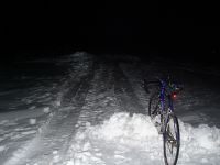
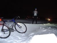
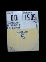
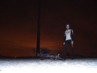
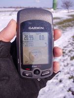
Well, at the beginning it really looked like it would be quite easy. Reinhard started from home shortly after 19:30 with his bike. He was a bit afraid of the road conditions of an agrarian and bike road, where there would be no winter services. His concerns turned out to be justified. The road wasn't clear of snow at all, but using an other road would have meant a detour of about 7 km, so Reinhard decided to struggle through the snow. No way to ride the road bike on that path, so he had to walk the bike to the hashpoint, which was still almost 2 km to go. The scenery was really interesting with a large quantity of snowbanks of different heights up to about 1 m. It felt like walking through a desert, when walking up and down the snow dunes. Unfortunately it wasn't only interesting, but also extremely exhausting walking or sometimes carrying the bike, while sinking deeply into the snow over and over again. Thus, it took quite a while until Reinhard finally arrived at the hashpoint in the middle of a wind park, which was old enough to be visible in the Google Earth satellite views. Reinhard tried to take some nice pictures of the windmills and went on to the closest road, which was still about 1 km crossing the snow-covered field. The rest was easy again: Just cycling the 17 km back home and arriving there 2 hours and 15 minutes after leaving it - a quite ridiculous time for only 33 km of travelling (30 km cycling, 3 km walking and carrying the bike).
| More of that - looking more impressive in reality than on that picture.
|
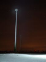
| Bike-lamp-illuminated wind engines.
|
|
Retro Expedition: Juja
The weather on 2010-02-20 was exceedingly fine, and as the actual geohash of the day was not within reach (by bike), I decided to do a triple-retro-hash instead, this one being the second (after visiting Kunitz).
From Kunitz on I decided to take bigger streets, assuming that at least this ones would be snow- and ice-free. So I took the road to Dorndorf, up to Dornburg, from there to Wilsdorf, all on nice, dry roads. From Wilsdorf, a straight way seemed to lead to Eckolstädt, and as far as my eye could reach, it seemed to be dry, too. But after one km uphill there was the first turn, and behind that, there was ice and snow all over. Still, the landscape was quite beautiful, so I tried to enjoy my winter wonderland walk and even balanced my bike through the parts of the way with less snow, having an experience that slightly reminded me of riding a bike over a sandy beach. Finally, I reached the road in Eckolstädt that led to the wind engines - but it ended at the last house, and from there on, I also had to walk through the once high snow dunes. Most of them were frozen, but from time to time, I was too heavy and broke in over my ankle, stumbling and probably cutting quite some ridiculous figure. Anyway, I made it! On to the next.
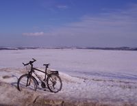
| On the way to this day's second retro hash.
|
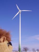
| Little Karl marvelling at the wind engines.
|
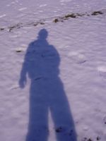
| My shadow in the snow - might that be the remains of Reinhard's footsteps?
|
|
Achievements
