Location
On a field path, not far from a road between Apolda and Stobra in Thuringia.
Participants
Retro Expedition on 2010-10-07
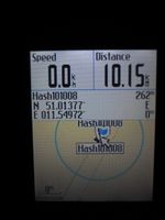
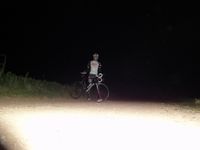
Reinhard went there one day in advance (It's an inverse retro expedition.), because he didn't want to wait until midnight and probably won't have time in the evening of October 8th. After riding there he looked for the close hash of the present day.
"Real" Expedition on 2010-10-08 (Juja)
Since I haven't been Geohashing for so long that I actually forgot my password, it was about time I kicked my own ass and visited this fairly easy hash at least. I started by bike from my workplace and was astonished how well my muscles seemed to work - didn't bike quite so much recently, but obviously finswimming trains the same muscles. I took the way from Jena West via Cospedaer Grund, Krippendorf, Hermstedt and Stobra - after I passed Hermstedt and got on ways I didn't know by heart, my Edgie decided that this might be a good moment to go nuts and forget about any maps - it showed me no map at all and from there to the point I just had a vague direction. Just like the old GPS-free days, only that I had a map back then at least. ;) Anyway I found the point and even Reinhards marked spot (I probably hadn't if I hadn't seen it in the wiki before and it really was right on the spot).
The sun was setting then and I needed to go home, but I didn't really know where the direct way from Stobra to Nerkewitz started and of course I relied on my Edgie which was still showing nothing (probably due to my recent fiddling with OSM). So I guessed a way, of course it was wrong, I was a little bit confused but finally reached Lehesten which was about the place I intended to reach anyway. From there I took the known ways back to Jena, where my lazy Ex-Ninja had already prepared food for me :)
PS: Don't be surprised at the fact that according to EXIF data my photos were taken in the middle of the night. My camera is still counting Singapore time but I noticed too late. I have been at the hash in the evening of the 8th (EXIF -6 hrs.)
Photos
| Coordinates reached, but few hours too early.
|
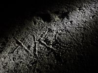
| I marked the spot, in case someone will go there.
|
| Beautiful new day: the reconstructed windmill near Krippendorf.
|
| I love this place. Even more in the evening sun.
|
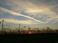
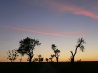
| Sunset and the remains of this year's hop harvest. Autumn can be so wonderful.
|
| Edgie for proof of location. Note the "no map" hint down left.
|
| If you know there is a mark, Karl and Tux are sitting right on top of it.
|
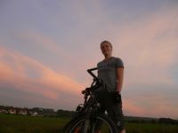
| Geohasher in teeshirt and shorts (man, it's October! Please, more of this!)
|
| Anyway, my hashcots are more photogenic.
|
| The same view towards Stobra, by light.
|
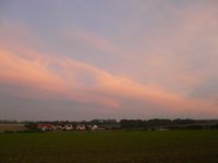
| I got lost here, but at least I got another lovely sunset picture (can't get enough of them).
|
|
