Location
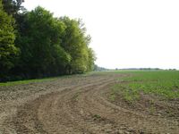
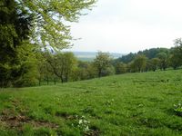
On the edge of a forest near Schöngleina, probably not too far from a fieldway. There are some beautiful ways between Jena and the hashpoint, so it's a very good location for a nice afterwork bike trip.
Participants
Expedition (Manu)
Again Manu was on the way to Jena after work, so a stopover at the Schöngleina hash was inevitable. She parked her car on the nearest dirt road and began to walk on the dry field edge. After 600 metres she found the sloping hash meadow - and of course the hash was at the other end of it... but Manu and her hashcots finally found the exact coordinates and marked them for Juja. Fifteen minutes later they were back at the car and drove on, while Juja was approaching...
Expedition (Juja)
Today was typical April weather again - sunshine in the morning, rain in the afternoon, and finally when I got home from work I decided it was good enough to go for this particularly nice geohash. I started from home and went to Ziegenhain and (that was a little detour) up to the "Fuchsturm", a nearby observation tower. I hadn't tried the south route up there in this year, but I'm still too weak...
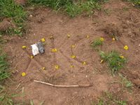
From the top of the hill I had an easy tour to the Steinkreuz crossroads and through the greenest of all forests to Burgrabis and Schöngleina, passing the airport of Schöngleina on which not even one plane could be seen. Also the hash point on a meadow behind Schöngleina was quite easy to find, a deer marked it (but it ran away before I could take a photo) and I even found the dandelion mark of my preceding geohasher.
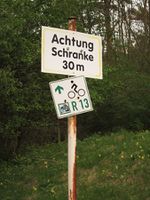
After that I decided to stay on the fieldway that brought me to the hash and see where it would lead me - like that, I saw some places I've never seen before, passed some nice ponds, got eaten by some hundreds of midges and finally accidentally arrived on top of Johannisberg hill (I did not bother to check a route on my GPS and just went west, following the curious R13 signs hoping they'd somehow lead me where I wanted to go - possibly before darkness, because I had no bike lights with me), from where I found my way down to Fürstenbrunnen spring and back home.
Photos
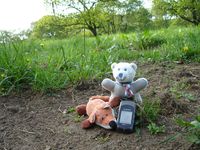
| Little Foxi und Procter at the hash (showing Manu's proof).
|
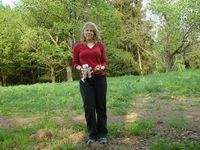
| Group shot of the first hashers.
|
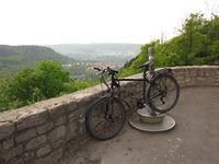
| Juja's bike enjoying the prospect over Jena from Fuchsturm.
|
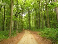
| Cycling through the greenest of forests - spring is beautiful around here.
|
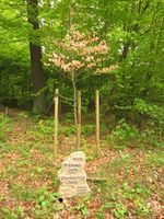
| Looks like a grim joke: the little "Engagement Beech" is the only sick tree in this perfect forest.
|
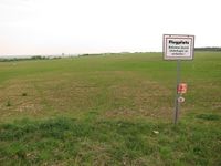
| The deserted airport of Schöngleina.
|
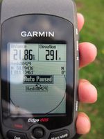
| Hashpoint reached! (Juja's proof)
|
| The mice found Manu's mark.
|
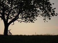
| Juja's bike waiting in the evening sun.
|
| Curious R13 signs pointing in directions.
|
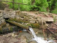
| Water from Fürstenbrunnen... cool and refreshing.
|
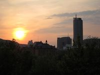
| Finally back home! Even before sunset...
|
|
