Location
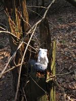
Near Thalbürgel in a place that's green on the satellite picture. Forest? Meadow? Pond? Swampland? I'm really curious...
Participants
- Juja, Benjy and Frankie Mouse
Retro Expedition on 2012-03-24
Because it would have been far too easy to cycle not even 10 kms to the hash point of 2012-03-24_50_11 on a free day with lovely weather, I started the tour visiting three retro hashes I had missed before, this one being the last after Serba.
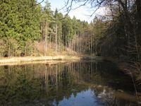
After I had done a private little bike race on the old race course nearby, I was ready for a little break and entered the forest cycleway from Serba to Thalbürgel at a rather relaxed speed. Still I overtook some grandpa with his old bike and he jokingly asked whether I could just drag him up the hill and told me his better bike (with gears) was stolen from his garden hut last autumn and whatnot. After we had finished our little chat he wished me a nice day and I continued on my quest. At some ponds near Thalbürgel I found a good place for my lunch break and the point seemed easy to reach on my Edge - almost directly next to my cycleway!
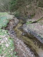
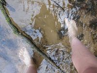
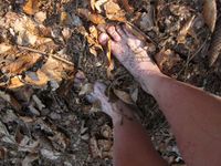
Well, not really. There was a swampy meadow in between... then a creek... and then 30m steep uphill. So what do we do now? Of course: get wet feet again, walking over the meadow, taking shoes off, wading through the creek (I would never have done that in darkness after work!) and climbing the hill up to the point and through some thicket, also barefoot. And back to my bike, where I tried to dry my feet in the sun for some minutes, putting my shoes back on and cycling on to the imaginary hash of the day...
Photos
| Now if that isn't a good place for my lunch break.
|
| Raging current between me and the point.
|
| Wading through (it was a little bit too wide for jumping).
|
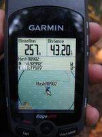
| Barefoot in the forest. It's a shame I didn't bring a ring and food.
|
|
