Location
On a meadow near Oettern, in comfortable Saturday bike tour distance of less than 20 kms (as the crow flies). There are good cycleways (Städtekette and Ilmtal-Radweg) from Jena to Oettern, and there might be a way to the hash meadow, too.
Participants
- Juja, Hans and probably a Ninja.
Expedition
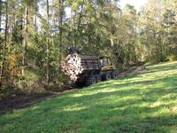
After a miserably cold, foggy morning we waited for the sun to get warmer around lunchtime before we started to the Geohash point. The weather was fine but still quite cold. We reached Oettern without problems and there really was a fairly good way to the point (as can be seen on the satellite picture). When we got nearer, there was a strange and very loud noise... but it was just a huge tractor pulling logs out of the forest. It soon disappeared and so I could go to the Hash point completely undisturbed. For the way back I had picked a small detour passing Kiliansroda and Müllershausen, so we had the oppurtunity to make the acquaintance of some of the worst "streets" Googlemaps knows about. What leads from Oettern to Kiliansroda and from Mechelroda to Müllershausen seems more like an empty creek bed than a street, but anyway. From Magdala on, the ninja proclaimed to be veeery hungry, he obviously started to run out of fuel and in the meanwhile I myself started to run out of body heat. So we were both quite happy to finally get back home, where we found warm(er) clothes, coffee and cake.
Photos
| That's what the noise was... Hexor!
|
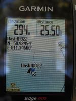
| Coordinates reached within accuracy and without GPS dance.
|
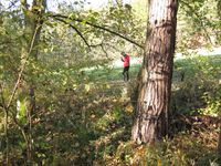
| A ninja, visibly standing outside the shrubs.
|
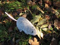
| Hans sitting at the Geohash point.
|
|


