Location
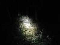
In the forest near "Carl August" between Jena and Isserstedt and, of course, on top of the hill.
Participants
Expedition: Juja
After I discovered that today's hash would be at only 6 kms distance from my home and "practically on my way to work" (according to Manu), one of my first thoughts was 'Why not try a Sunrise geohash?' Well, there's one good point against this plan: I am an incredible sleepyhead. But it's almost the middle of winter, so chances were that sunrise would occur at a quite reasonable time even for my standards. I looked it up: 8:04. Ok, that's still early, but could be possible.
Anyway the weather forecast predicted lots of rain and I decided not to get up early for the hash if it would be too wet in the morning. In fact, I really hoped for some heavy rain that would grant me another hour of sleep. Fail! The morning night was nice, so I got ready for geohashing.
I had cycled about 5 minutes (I will not label them "quiet", because obviously all the world is driving through town at this absurd time of day) before it started to rain - yeah of course, with every geohash there's another proof of Murphy's Law... but since this might have been my one and only chance to ever get this achievement, I decided to ride on anyway.
The almost direct way I had picked on OSM was easy to find (even in darkness/dawn) but impossible to ride with my bike, so I pushed it over the lots of wet wood until I reached a better way and got to the geohash point almost 10 minutes before sunrise. Since it was raining a lot and the sky was full of black clouds the sun could not really be seen, but let's just imagine it was there.
After I had marked the spot, taken some photos and waited the necessary 8 mins for sunrise, I got back on my bike and cycled to work on a better way I just found. I arrived quite wet but astonishingly happy and - wide awake! Successful sunrise hash, yaaay!
Photos: Juja
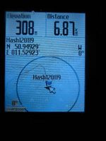
| Proof of location - I was there...
|
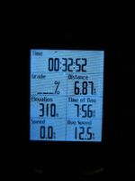
| ...right on time - 8 minutes to sunrise!
|
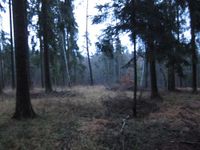
| The exciting surroundings of the Geohash. Hmm.
|
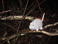
| Hans sitting in the wet underwoods.
|
| Marked the way near the Geohash point.
|
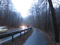
| On my way back: this might well become the ugliest day of January.
|
|
Expedition: Reinhard
If Juja is an incredible sleepyhead Reinhard wonders, how he could be called properly. He don't think he would find a place on that scale ...
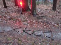
Reinhard got up about the time that Juja was already going to leave the hashpoint. He did his usual workday hash by cycling there after work in the dark. Juja told him exactly how to get there the easiest way and that's the one he took after choosing the oldest bike he found. (Juja was right: It became the ugliest day of January and thus Reinhard didn't want to soil the pricier bikes.) As Reinhard's GPS device of the day had no topographic maps stored and he didn't know exactly which direction the path leading to the hash was about to take behind the hash, he just tried that after visiting the hashpoint (and finding some ancient characters made of wood on the path next to it). Reinhard found out, that the way did not lead back to the main road to Jena, but further up to Großschwabhausen, from where he knew a bike path through the forest and back to Jena, which he eventually took.
Photos: Reinhard
| Some hieroglyphs I stumbled upon.
|
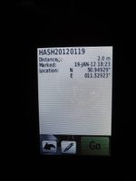
| Reached the coordinates as good as I could.
|
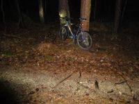
| The exciting surroundings of the Geohash after sunset. Even more Hmm.
|
|
Achievements
