Location
On a hill, behind Dal, Norway.
Participants
Plans
Just a spontaneous continuation of the last hash.
Expedition
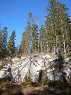
I parked near the paved road, on the foot of the east side of the hill. From there, it would be a walk of about two kilometers up a mountain road (i.e. unpaved, privately maintained toll road, usually used for logging and recreation), then along some lines that are marked on my topo map as a "car-wide forest track", which is usually a ski run in winter and an overgrown swamp in summer. It turned out to be steep enough not to turn into a complete swamp, except for the flat passages, and rather walkable. There was also one that led me to about 200m of the geohash, from where I just hopped from stump to mossy stone in the direction of the hash. The low places would contain undiscernible amounts of water, which was no longer reliably frozen. About 50m from the hash, I noted a suspicious drop in the landscape. At about 30m it was clearly discernible as a vertical wall, and I dediced to cease the hopping.
I decided to follow the elk tracks, because elks always know where the terrain is most accessible (Assuming you have four legs that keep you two meters above ground). With a bit of a detour I reached a place where the wall low enough to scramble down, and I continued hopping back to the geohash.
Photos
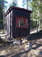
| Someone built a Punch and Judy show |
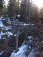
| The ski tracks merged at a signpost |
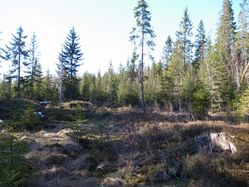
| 30m from the point, I ended up at the upper side of this wall. |
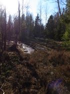
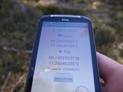
| But coordinates were reached |
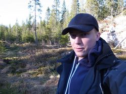
| The other side of the hash |
|
Achievements
