Location
Forest near Magdala
Participants
Expedition: Jens
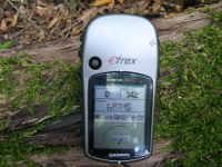
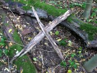
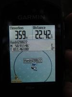
9 km bee-line, that’s just the right distance for a sunny after-work trip – at least for me. Others may think it’s to short. So I cycled to Magdala where I left the road and followed a dirt road that lead directly to the point. Ok, 20 meters beside the point. But even the last 20 meters were easy. Some trees, some brushwood, that’s all. I marked the point with a wooden “X”. Only in case Juja will come here too. Although I told her that I will go to the point by a chance of 93,2%, so I think she will not try it herself...
Expedition: Juja
...and she wouldn't have, if it wasn't for the unusually adventurous Ninja who insisted she blew off her evening date with the pool and went cycling with him instead. So we both rode our bikes on a well known and relaxed evening round via Großschwabhausen and Döbritschen to the point in the forest, using unknown ways that were just too good to be true. And we even found completely new ways on our way back to Bucha! From there on we raced down to Jena and back home - the Geohashing Weasel striked back!
Photos
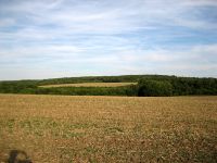
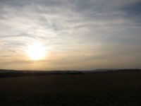
| View to the point from the distance.
|
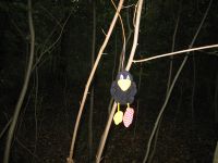
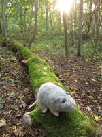
| Räbe hanging around at the point (notice his stupid grin).
|
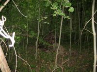
| Hans sitting at or near the point (without noticing any X'es).
|
| Nearly the same view, probably later.
|
|
