2013-02-14 30 -81
| Have you seen our geohashing marker? We'd love to hear from you! Click here to say "hi" and tell us what you've seen!
Curious about what geohashing is? Read more! |
| Thu 14 Feb 2013 in Jacksonville, Florida: 30.2544972, -81.8346716 geohashing.info google osm bing/os kml crox |
Contents
[hide]Expedition
The Plan
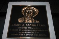
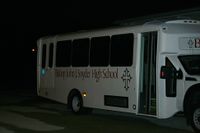
On the baseball field at Bishop John J. Snyder High School. Hopefully we can just walk out to it.
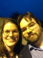
The Geohashers
The Adventure
We had to go during rush hour, since that was the earliest I could've gotten home. We went south on I-95, then took I-295 westward. Aside from breathing a sigh of relief that we didn't get caught in the usual Blanding Boulevard traffic we normally have to wade through when we hit this way, it was an uneventful trip.
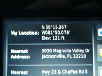
Once we got there, Erica was eager to test out her camera, although we quickly found out that it was too dark to really use. The baseball team was still using the field, so we wandered around for a bit before we started to see people heading back. I had to do a doubletake once I saw the head coach, because he was the spitting image of my brother in law. We could also tell he was the head coach because he was the first one to respond to our presence - thankfully he was friendly, if a bit wary of our motives. We explained geohashing the best we could, but he was reluctant to let us go since he was about to close and lock the gate letting all the cars, and therefore us, out. He let us go once I said we should only take a few minutes and knew exactly where the point was, so we took off running. We weren't able to get a good picture of the geohash itself because we were running pretty much full tilt the whole way, but I got my coordinates.
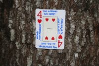
Profuse thanks later, we got out the gate, shared a high five, and left the Four of Hearts to commemorate the end of our longest geohashing drought thus far.
Gallery
- Photo Gallery
Achievables
Geoff earned the Ambassador achievement
|
Geoff earned the Two to the N achievement
|
