2013-05-01 63 28
| Wed 1 May 2013 in 63,28: 63.4683166, 28.0088927 geohashing.info google osm bing/os kml crox |
Location
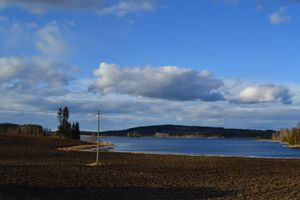
In Rautavaara. The point lies in the slopes of forested hill Pienimäki, which rises straight from the lake Korpinen.
Participants
- Pastori
- The Wife
Expedition
This expedition is the third in the series of three hashpoints scored today. First one. Second one.
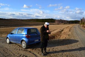
After scoring the second hashpoint it was 18:00 and Pastori and Wife were 100 km away from home. The roads they needed to drive through were small and bendy rural roads, some even gravel roads. They decided nevertheless to check the hashpoint for their home graticule, i.e. 63,28. That wouldn't make much of a curve to their route. Or actually there would be plenty of more curves to drive, but additional kilometres only about five.
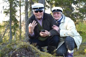
Therefore our May Day cruise continued on sunny and dry weather, the traffic also being very sparse. We could drive near the hashpoint, again we needed to trek only about 100 meters. Nokia boots and Student caps on. Over the field, a little up the side of the hill and look at that - there it is again! Our third geohash on the same day! Pastori's and Wifes cooperation on this hashing seems to create good results. We seem to drive small roads and visit places we otherwise would never venture into.
The day had been long and both the body and the mind wanted to get home. The journey home went peacefully avoiding potholes. During the day's cruise The Wife had - while also reading the map - knitted small slippers for their small granddaughter. These she will probably get next week.
Overall statistics for 1.5.2013 were 3 hashpoints and 400 km of driving. Of that only about 40 km were only for geohashing.
Additional photos
Achievements
Pastori earned the Multihash Achievement
|
Pastori earned the Land geohash achievement
|


