2014-05-24 51 9
From Geohashing
| Sat 24 May 2014 in 51,9: 51.3266421, 9.7578641 geohashing.info google osm bing/os kml crox |
Location
The hash lies in the Kaufunger Wald near Kleinalmerode.
Participants
Plans
I want to hitchhike to the pass of the mountain road from Nieste to Kleinalmerode and then I want to walk to the hash.
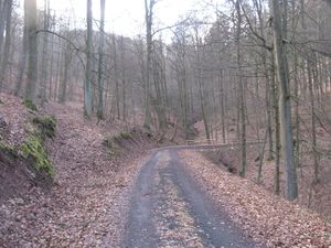 |
This is a view to the hash. I passed this place on my walk to 2014-02-20 51 9, the today's hash lies about 400 meters straight ahead. But there is another forest way up there, which will lead me better to the hash. |
I will leave home at 11:30 to be there for a xkcd meetup.
Expedition
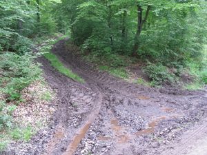 |
I left home at 11:30, and with the tram 3 and the buses 32 and 31 I went to the Witzenhäuser Straße in Heiligenrode. From there I started to hitchhike and with three cars I arrived at the pass. There I went into the forest. The main way had a surface of gravel. After 1.5 kilometers I arrived at this muddy way. | |
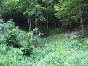 |
But I didn't take it. At first I wanted to see, if the lower way would lead me to the hash. But it didn't. The nearest place I could go to, was 85 meters away and the hash was steep up the mountain. | |
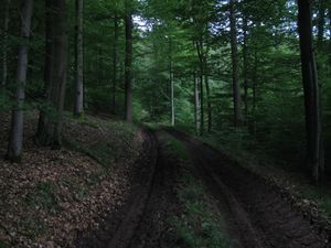 |
Instead to climb up the hill, I walked back to the former junction and started there to walk again to the hash. The way was muddy. | |
 |
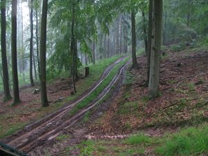 |
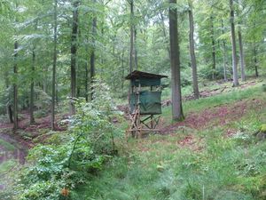
While I was walking through the forest it started to rain, it rained heavy and a thunderstorm came up. I found a hunter's seat and used it as a shelter. And the forest way became more muddy. |
 |
 |
I sat for about half an hour in that shelter. It rained heavy and it rained and rained. Then the sun came out, but it didn't stop raining. But at the end the rain stopped, but the thunder went on. In such a situation in the forest it is not easy to see, if the rain ended or not. |
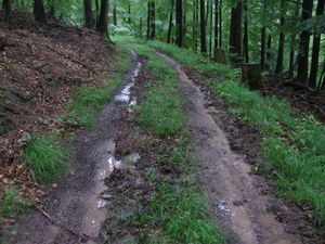 |
But I started then. The way was more muddy then before. | |
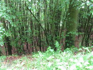 |
Ten minutes later I found the place of the hash. But is was very deep below the way. Looking for an other way to the hash had no success, The nearest other way led away from the hash and the path to the hash would be as steep as before. | |
 |
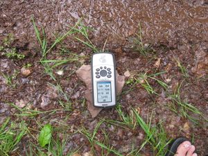 |
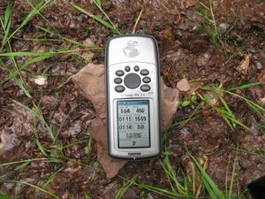
For a photo of proof I waited a long time near the hash, and sometimes the pointer danced around the hash, but only after about 50 minutes I got a photo with a three meter show. But only seconds later the display showed 20 meters again. |
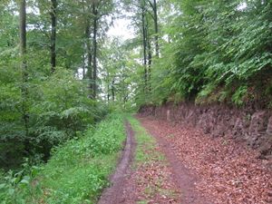 |
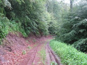 |
View to the south and to the north. |
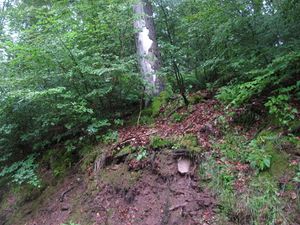 |
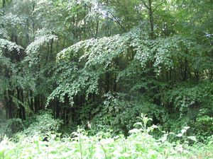 |
View to the west and to the east (to the hash). |
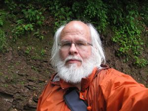 |
The geohasher. | |
 |
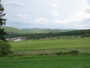 |
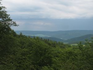
I waited at the place above the hash, if other geohashers appeared, but no one did. Then I wanted to go back to the main road. I wanted to take another way, but I didn't find it. Then I used the way which I used before. There I found a view to the valley, from where I could have a view to the 2014-05-21 51 9 hash. On the way home I had a view to the Kaufunger Forest, where the actual hash was in. |
Achievements
GeorgDerReisende earned the Thumbs Up Geohash Achievement
|
GeorgDerReisende earned the 2014 Mouse Over Day achievement
|
GeorgDerReisende earned the xkcd Decurion achievement
|