Location
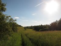
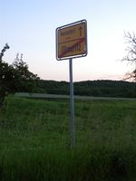
In a meadow near Oßmaritz. Also apparently near business providing "stylish obituaries" <- Whaaaat? Oßmaritz is in the Saale-Holzland-Kreis district, but the spot itself is just across the district boundary to Jena.
Participants
Plans
This is quite close to where I work, so I plan to leave work at 3, get to the point at 4 or so? Looks like I'll take mostly hiking paths, though I'll have my bike with me, so that'll slow me down. ScepticAnna (talk)
Maybe I will come there too, but later. Can't leave work at 3 pm. Jens
--- Yeah, I usually work 6 to 3, so I buy my early afternoons with early mornings ;-) I'll try to remember and leave a sign this time for you to find later. ScepticAnna (talk)
I'll probably compete with Jens for Latest Geohasher of today. -Juja
Expedition
Anna
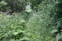
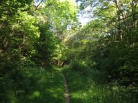
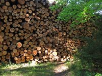
After leaving work half an hour later than planned, I left via Göschwitz. While the hiking path between Göschwitz and Oßmaritz is quite broad and as good for biking as a hiking path gets, I pushed my bike part of the way because the climb was too steep for my lungs. On top of the hill, I took a nice grassy path to a small farm. My GPS wanted me to go through the farm, but I didn't want to trespass and the map showed a small path that would get me there. I went looking for that path and at first didn't find it. Finally I spoke with a woman who was searching for a different path and she pointed it out to me: it was quite overgrown. The woman's path turned out to be hiding behind a tall stack of wood.
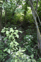
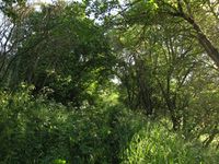
I followed the overgrown path to 12 meters away from the point and realized that I would have to break through some bushes to reach the point. After braving stinging nettles and thorny wild plums, I finally reached the point at the edge of a field of tall grass. The path I took through the bushes looked like someone had gone there before - some other geohashers, or just a sheep trail, who knows?
I'm sad to say that again I forgot to leave a sign. (I have an excuse: I was distracted by the many insects that were landing on me, making me itch and just want to leave)
On the way back to Jena, I took a path through Kleinertal valley, because someone had told me that there are lady's-slipper orchids there. I didn't see any, probably wasn't in the right place.
In Winzerla I think I met Juja, but I can't be sure because it was in a dark tunnel, she was wearing dark sunglasses and we passed each other very quickly, so who knows?
All in all it was a nice, sunny expedition,even though now the skin of my legs is itching from being hit by grass so much.
Jens
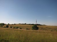
I decided to use the Oßmaritzer Str. from Winzerla to climb up to the point. As the name of that street already indicates it leads to the direct path from Winzerla to Oßmaritz. When you have to climb up a hill, the direct path may become steep. I knew this before, since I saw a lot of topographic contour line on the map I had to cross. But reality is always harder than a some small lines on a virtual sheet of paper. So I can quote from Anna: “…I pushed my bike part of the way because the climb was too steep for my lungs.” When the way reached the local top, I found myself in front of a transmitter mast, I have seen a lot of times before but never knew how to come there. Now I know.
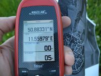
Now I had to find the entrance to the overgrown path. I saw it, but was not sure, whether it was right, so I first cycled to Oßmaritz and entered the small path from the other side, where it was easier to find. Next task was to overcome the brushes between the path and the meadow. I didn’t try it direct beside the point. Instead I went 50 meters along the path, where is was quiet easy. On the meadow I took some photos and wanted to leave a sign (I’m not sure whether Juja has already been here or not) but there was nothing here to create one. Or my creativity left me. So I built some kind of abstract art, that probably no one will ever identify as a mark. But I can say, I did my best.
For my way back home I used the official street to Oßmaritz, much more comfortable than the path I used uphill.
Juja
To make sure I'd be the Latest Geohasher today I took one and a half expeditions: after I kidnapped another one of Manu's Hashcots I started cycling to Winzerla (around quarter past five) and shortly after I passed the dark tunnel Anna mentioned I suddenly remembered that I had left the strawberries for this weekend's torte in the office fridge. Sooo, turning around hastily, I sprinted back to the office, got my strawberries, brought them home, started again (it was shortly after 6 pm by then). I passed the dark tunnel in Winzerla again, then cycled up to Ammerbach and from there I either found the single way where it was possible to ride bikes on, or I just have other lungs ;)
Anyway I also took a hiking path from Ammerbach up the hill, and it was the one Anna's acquaintance was looking for, because when I reached the top it suddenly ended in a tall stack of wood. I went around it and after that I also thought at first glance there wasn't a way to the hash at all, at second thought I realized that there might be an almost invisible track leading through the overgrown meadow.
When I got nearer to the point I clearly noticed the marks of a bike that had gone through the tall grass, and after I made my way through the thorny bushes there were also footprints on the meadow. I was really looking for hashmarks and so I even recognized Jens' creative building as such. Hooray! With itchy legs I continued my tour, exploring some new trails on my way back home.
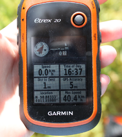
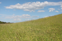
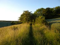
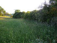
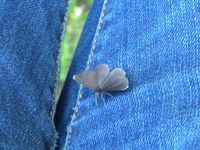
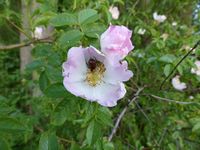
After the disappointing 50 12 expedition, I continued on the A4 Autobahn to Jena. Then I drove through the southern parts of Jena and via Ammerbach to Oßmaritz and parked the car right at the start of the track that led to the hashpoint. I started out at the same time as a woman that was walking a beautiful dog, but I quickly outpaced them. The track was overgrown with grass and lined with colorful flowers. Then the track became much more overgrown with higher grass. After reading the others' reports I realize that I approached that track from the easier side, as I had no problems finding it. Soon large hedges lined the track as well, it was very nice. On that track I came to within 10 meters of the spot, then I had to walk another 50 meters to find a place where I could cross the hedge without too much hassle, it was around 20:45. Sorry Juja, I didn't know you wanted to be the last geohasher of the day. A very nice meadow with many different plants and nice flowers greeted me, little black butterflies (one even landing on and crawling up my leg) and other insects were buzzing around. That's the kind of hashpoints that I really like. I walked the 50 meters back towards the hashpoint and as I came near it, I noticed spots where the plants were born down. Of course, those very active Jena geohashers must have been here during the day! I didn't notice Jens' marker though. I danced around a bit to get the correct coordinates, then I enjoyed the place for some more time. The second ice cream, which I had planned to eat at this second hashpoint, I had left in the car, as I had my dinner. Then I tried for the first time to send a message to the wiki using the smartphone app. It didn't work at first, but after I re-typed the password I succeded:
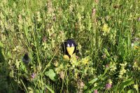
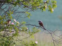
Suddenly I heard a loud bark from the nearby forest and at first I thought that the dog from earlier was near. But there were more barks and I quickly realized that it was a roe deer shouting. I stayed quiet and slowly took my good camera from the backpack (I had used the small one until then), but the deer didn't come out of the forest. The barking slowly moved through the forest and faded away in the distance. Not much later, when the sun set, I very slowly started to walk back to Oßmaritz, stepping lightly in case there might be more deer nearby. On a branch not too far away I noticed a bird with a distinct black stripe in its face. A 'Neuntöter' (red-backed shrike), which I had only known from pictures! 'Neuntöter' means 'nine-killer', after the superstition that it kills nine animals before eating them. It was a male and only while sorting the photos for uploading them to the wiki I discovered the female in the same photo, sitting near it, hidden in the bush. I continued the walk back to my car, ate the ice cream, which was warm by now and dripped on my clothes, then I drove towards the Autobahn and via Erfurt and Schweinfurt to Würzburg, where I arrived at midnight. In total my journey took 6.5 hours, 5.25 of those driving. The total detour for the two hashpoints was 49 km of distance and about two hours of time.
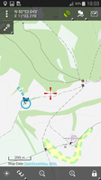
triton tracklog for both hashpoints
Photos
Anna's Photos
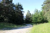
| The path that took me near the point...
|
| ...which is through there.
|
|
Photos Jens
| The path I used to climb up the hill
|
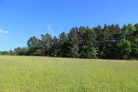
| A good place the leave the path before the fence of brushes starts
|
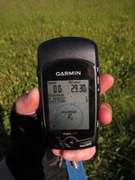
| proof of location - classic style
|
| proof of location - smart style
|
| A crypted mark, Enigma can't crypt better
|
|
Juja's Photos
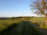
| Nice hiking path that's also good for bikers.
|
| It only ends in a stack of wood...
|
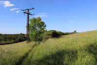
| The way to the hash (obviously).
|
| Still the way to the hash (less obvious?)
|
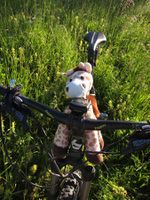
| Today Heunec wanted to go for a ride with me.
|
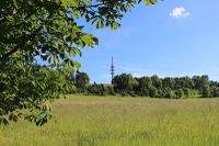
| The Cospoth mast from the other side.
|
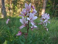
| Burning-bush I found on the way back.
|
|
Danatar's photos
| 2 Neuntöter (red-backed shrikes)
|
|
Achievements
|
All participants earned the Avoid Each Other Achievement
- by launching four independent expeditions without meeting up at the (50, 11) geohash on 2014-06-06.
|
