Location
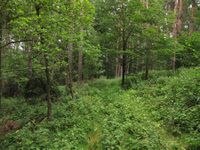
In the forest near Harpersdorf, Thuringia.
Participants
- Juja, Benjy and Frankie Mouse
Expedition
Today was the kind of day that would normally keep me inside - it was cloudy, very windy and on the verge of raining all the time, exactly the weather that makes people wrap up in their coats. BUT! The Geohash point of today is not so far away (might be done with a tour of ~80kms), so let's go for a ride!
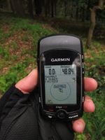
I started with a backpack full of rainclothes on the uglier part of the tour, going south via Stadtroda and St. Gangloff, then being surprised at the hills I never noticed there and cycling on to Harpersdorf. Sadly, OSM isn't too good in this area - it's got a main street but not more, and so I cycled up at least three driveways before I found the street that really led to the hiking path near the point. As I said, a hiking path, so I just had to see how far I could go on my roadbike - I finally decided to walk when I couldn't even see the way any more. Still found the point (with red legs, after crossing some stinging nettles), took a pass on the 0-m-dance and went back as fast as possible, this time north via Hermsdorf and Thalbürgel. Sadly, I wasn't even granted the one pleasure I was hoping to get out of the trip, since the cherry trees on the way back were now fenced in...
Photos
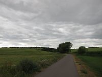
| What 80% of the tour looked like.
|
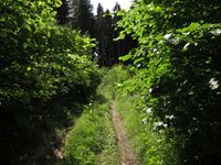
| Finally, a bit of sun! Alas, the way is getting worse...
|
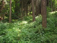
| Exciting view from the hash.
|
| Hashmice back on the bike.
|
|
