2014-07-13 47 11

| Sun 13 Jul 2014 in 47,11: 47.2236532, 11.5907277 geohashing.info google osm bing/os kml crox |

Location
The Roßkopf summit (30 m from the peak).
Participants
- GuyIncognito
- LeslieHapablap (previous|next)
- Waltraud the hashkiwi
Plans
We had several points in the mountains already, but that a hashpoint lies directly on a summit has not happened before. If the weather permits, we will go for it. Update: The weather forecast is not great: some rain showers in the morning, chance of thunderstorms around noon and in the afternoon. Nevertheless we will go, planning to leave Innsbruck around 6.30 a.m. to be back in the valley before noon and avoid the thunderstorms (which can be quite dangerous in the mountains). The summit is at 2382 m (7814 ft), we are expecting around 3°C (37°F). The planned route is about 14 km and 1000 m difference in altitude.

Expedition
- Summit geohash! -- LeslieHapablap (talk) 10:59, 11 July 2014 (EDT)
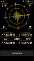
- Point reached! Visibility near zero :-) -- LeslieHapablap (talk) @47.2236,11.5907 03:51, 13 July 2014 (EDT)
On Friday I was excited to see the hashpoint on a mountain summit for the first time (at least only a few meters below the summit according to the contour lines on the map), additionally it wasn't too far away from Innsbruck. The maps didn't indicate any hiking paths leading directly to the summit (that has changed now), so it wasn't quite clear if the point would be accessible. But some pictures of the summit which I found showed a gentle profile, so we estimated the chances to reach the point as quite high, which turned out to be true.

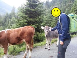
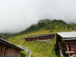
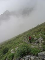
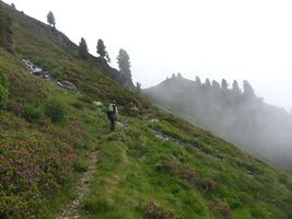
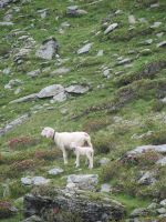
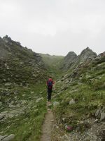
We started from Innsbruck at 6.30 a.m. and arrived at the Wattenbach valley at 7. We were very lucky with the weather: although most of the mountain tops were hidden by clouds, it didn't rain and the weather was stable for the entire expedition, now and then even the sun came out. On the first part of our hike, making good progress on a well maintained dirt road, we met many cows. After ascending about 400 m altitude, the road ended at a small group of houses and stables. From there we walked on a trail which was sometimes difficult to spot, but which is apparently used by the local shepherds a lot. We met three of them on their way to look after and count their sheep in the mountains, one of them we guessed to be about 70 years old.

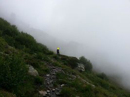
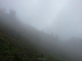
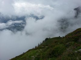
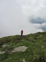
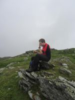
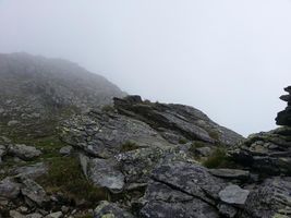
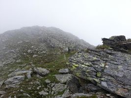
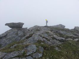
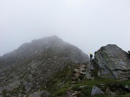
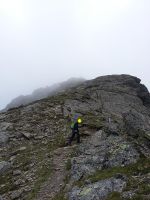
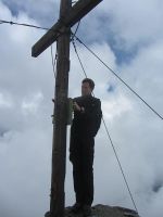
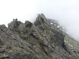
The trail lead to a small spring with refreshing water. Of course GuyIncognito knocked over the fragile wooden construction which made the water flow into the little basin, and he had a hard time repairing it. From this point on there were no trails anymore in our maps, but it was quite easy to continue over fields and meadows. At some points even traces of a trail were visible. Even though we were surrounded by fog pretty soon it was no problem to first reach the crest and then the Roßkopf summit. The profile of this mountain was indeed a little disappointing: it was very roundish, lacking even a proper summit cross (probably because of the presence of the nearby summit "Haneburger", which is a few hundred meters higher). We had lunch, took a picture of us at the summit and then looked for the hashpoint, which was only about 80 meters away. After the obligatory group picture with Waltraud, we decided to also visit the Haneburger peak. On our way there we came to a very characteristic rock which, for whatever reason, had its own cross on top of it. GuyIncognito tried to climb the rock, but failed despite of the presence of a steel rope: the rocks were wet and just too slippery to risk to go further. So we settled for the Haneburger peak and finally, at 11 a.m., arrived at a summit cross with a log book to put the geohashing expedition page into it. The sight could have been magnificent, but unfortunately it was still foggy.
We returned the same route which we took on our way up. Because of our detour to the Haneburger, our tour was a few kilometers longer than expected, but there was still plenty of time to the World Cup Final in the evening.
Photos

Meuh!
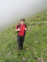
Not photoshopped, GuyIncognito actually looks like this.
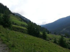
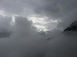
Looking to the top lying in clouds.
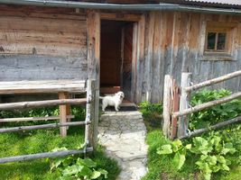
Nice little dog.
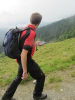
Checking the map.
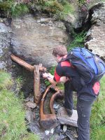
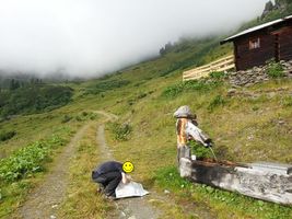
The spring.
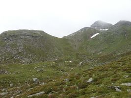
Haneburger (our second summit for today) in clouds.
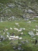
Shepherds with sheep.
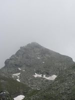
Looking at Haneburger...
... but going to the Roßkopf first.
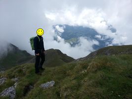
The Roßkopf summit, a little disappointing.
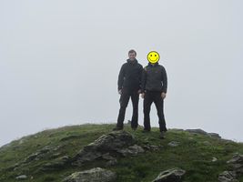
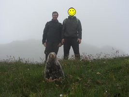
Group picture at Roßkopf.
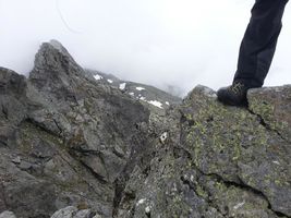
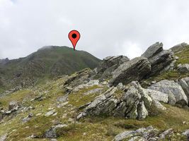
The hashpoint (and sheep poop), about 80 m away from the summit.
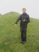
Obligatory silly grin at the hashpoint.
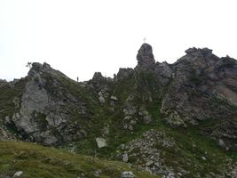
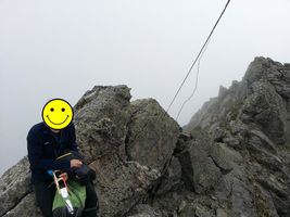
Challange accepted...
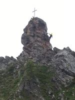
... but not completed.

Summit cross at Haneburger.
At the top...
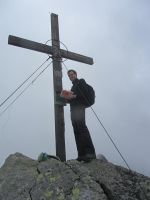
... of Haneburger.
Entry into the log book...
... and cookies.
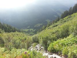
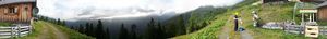
This could have been a nice mountain view without the clouds.
Looking back...
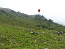
... to the hashpoint.
Reached.


Achievements
LeslieHapablap and GuyIncognito earned the Land geohash achievement
|
LeslieHapablap earned the OpenStreetMap achievement
|