Location
In the forest near Großlöbichau, Thuringia. Googlemaps shows a way nearby that OSM refuses to know. I can guess what this means. Oh, and of course it's on top of the hill.
Participants
Expedition
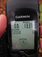
I didn't feel very much like Geohashing today - I did my big good-bye-summer-ride yesterday and really wanted to rest my legs, but the sun was shining in the morning and the Geohash was too close to miss, so... yes. I struggled up to Steinkreuz (slower than ever) and on in the direction of the Geohash. I memorized the ways that Google meant would lead there very well, but when OSM doesn't know ways it's not necessarily an indication of lazy cartographers - mostly (also this time) it might also mean that this is a way you'd better not know about. First part was muddy all over because the lumberjacks had used it with their machines, then the way soon disappeared to nothing and I was surrounded by undergrowth. Anyway I could push my bike through the mess in the approximate direction of the hash area (GPS reception was rather bad under the trees, and the sunshine now also hid behind thick clouds) and get my 0m-shot soon after. After carrying my bike down to the next meadow I even found another, better way and cycled back home.
Photos
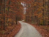
| The way to the Geohash (start).
|
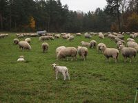
| Hash sheep and silent lambs.
|
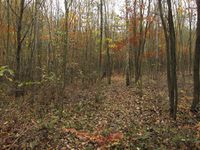
| The way to the Geohash (finish) - as ever.
|
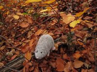
| Hashrat Hans sitting on the spot in wet leaves.
|
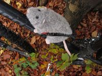
| And found his perfect way of travelling.
|
|
