Location
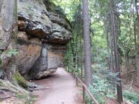
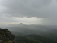
Today's location is on a hiking track right below a vertical cliffside, near the Pravčická brána/Prebischtor rock formation, in the Bohemian Switzerland (České Švýcarsko), the Czech part of the Elbe Sandstone Mountains.
Country: Czech Republic; region: Ústecký kraj (EU:CZ:US); (district, obsolete: Okres Děčín)
Weather: clouded until right past the hashpoint; strong rain from after the hashpoint until I left the mountaintop area behind; then clouded with some raindrops; after lunch sunny with clouds.
Expedition
A hashpoint on (or next to) a hiking trail in the Bohemian Switzerland, only a few kilometers from a train stop and with a ferry across the Elbe at that stop, and I didn't have anything planned for the day? Hooray! On Monday I prepared a map (noting that my printer cartridge was quickly dying in the process), looked up train schedules, looked up the nearby hiking route, estimated how long each part would take me and how early I had to start in order to be back at Dresden for the organizational meeting with my colleages at 16:30.
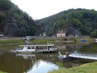
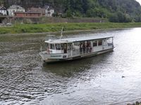
My day started at 4 a.m. That wasn't planned, but with all those night shifts over the weekend my sleeping pattern was still mixed up and I was wide awake, so I planned for the expedition a little more. At 7 I left home, made a stop at the supermarket (for cereal bars) and at the bakery (for bread rolls), and cycled to the Dresden-Strehlen train stop for the 07:32 train towards the Czech Republic along the Elbe river. I got off at the final stop, Schöna, where a foot ferry brought me across the Elbe to Hřensko. Along about 3 km the Elbe is also the border between Germany and the Czech Republic so the ferry ride was a border crossing at the same time (you can recognize Czech names from all those strange diacritics, čřážý Čžěčhš). As usual in this region of the world, there was no border guard, only a small sign at the landing.
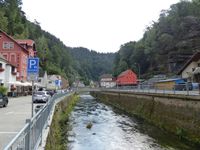
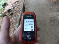
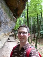
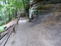
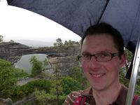
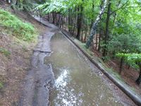
All along the street of Hřensko there were shops selling cigarette cartons (because cigarettes are much cheaper than in Germany) and Vietnamese vendors selling all kinds of things. Since I had a schedule I walked quickly through the town and then along the road until I reached the hiking track. The track went uphill through the forest and along steep cliffs. After a few corners I came to the hashpoint at 09:20. On one side from the 2 meter wide track towered a very steep (sometimes vertical, sometimes overhanging) cliff, on the other side a slope went down into the valley, so reaching a spot off the track would be difficult or impossible. But I was lucky, after a GPS dance that was made difficult by bad reception with only intermittend readings the spot turned out to be directly on the track. While I was taking pictures all the people I had outpaced earlier passed me by. Two teenage girls sat down about 10-15 meters further along the track and for a moment I thought they might be here for the hashpoint. But then I remembered that I had never heard about teenage geohashers (without adult company, that is) in central Europe; they were just eating a snack.
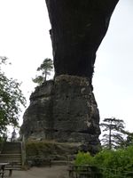
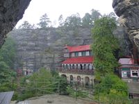
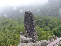
Now that I had reached the hashpoint, my expedition was not over at all. Further along the track I walked until only a few minutes later I reached the intersection that led to the Prebischtor. At the same time a light rain started. There the track serpentinely climbed the short narrow valley until it reached the Sokolí hnízdo hotel, built in 1881 for all those tourists that came even then. It and the surrounding area is private property nowadays and together with two dozen other hikers I had to wait ten minutes until they opened at 10 am. In those ten minutes the rain got stronger. At first I took a look at the landscape paintings that were shown in the hotel, but the rain did not diminish, so I visited the Pravčická brána/Prebischtor in the rain. This huge sandstone arch is the largest rock arch in Europe, spanning 26.5 meters and with an inside height of 16 meters. The rain was coming at an angle but with my umbrella (yes, I had looked up the weather forecast) I was able to protect my camera. Then I walked to the back of the hotel where a small path climbed up the Kreuzstein. This long but narrow rock is opposite the Prebischtor and has the Malý Pravčický kužel/Kleiner Prebischkegel rock needle at its tip. With no protection from the elements the strong wind was able to push my umbrella aside and get rain on my camera, twice I had to retreat to the small tree that grew there to dry the lens. I didn't stay long, climbing back down soon. I didn't even take the other small path because I didn't want to lose too much time. When I was back home I saw on the map that that path would have been very short but would have offered a nice view.
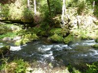
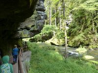
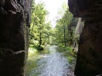
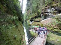
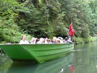
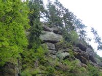
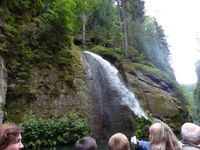
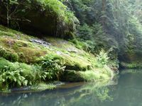
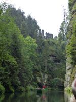
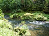
Not much later I was on the main hiking track called the Gabrielina Stezka/Gabrielensteig again. I walked along the mostly level track that now was quite muddy in some places. It followed the steep rock walls that were looming impressively over me. There were so many people coming from the other direction that after a while I had "learned" the Czech words for hello, although I made sure to pronounce a bit indistinct because I wasn't completely sure. In the end, I was correct with "dobrý den". Slowly the track was turning downhill again and I reached the hamlet Mezní Louka. From there I walked two kilometers along a road to Mezná which I reached at 12:20. I knew that I was in time so I went to a small restaurant, where I had a refreshing apple Schorle (juice mixed with water) and a filled escalope for only 10 Euros, they even gave me a postcard when I left. After lunch I continued my journey in sudden sunshine. Sunshine, now! Had I taken the tour in the other direction, the rain would have been during the boring part of the walk and I would have been at the Prebischtor during sunshine! To reach the river Kamenice I had to take a steep path that zig-zagged down. While descending, the pain in my right leg that I had experienced while walking downhill during my expedition to the German part of the Elbe Sandstone Mountains started again. Apparently I'm more of an upwards person. I reached the Kamenice and followed it. On both sides the ravine's walls towered above me. In some parts the path had been cut into the rocks, when the river didn't leave enough space to walk. There were many tourists and even a restaurant in a wider part of the canyon. Beyond that, the hiking trail came to an end, because the river filled the gorge from rock wall to rock wall. But it was not the end, it was a new beginning (DUN DUN DUN). After paying a fee (in Euros again) and waiting in line for a few minutes, I boarded a small boat. The driver slowly poled us through the gorge, telling stories and pointing out rock formations both in Czech and in German. There were rocks that apparently should look like animals and there was a small waterfall that the driver activated by pulling a rope that presumably opened a hatch somewhere above us.
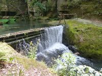
After 960 meters the ride ended at a wooden weir that kept the upstream part of the river deep enough for the boats. I disembarked and went on on foot. Not much later I was back in Hřensko and then at the Elbe. I had about 20 minutes left until the return train, so I went looking for stamps. The asian lady in the tobacco shop didn't understand me, but then I saw a post sign at the tourist office. I bought a stamp, wrote the hashcard to isopekka and put it in the mailbox. When I arrived at the ferry landing I had about 10 minutes left until the train came. The ferry was on the other side and took a few minutes until it was back. The sole person took ages to disembark, then the other people on my side took ages to board, all the while the seconds were going by. The ferry sat still. I saw the train arrive and depart, only then did the ferry start to move. NOOOO! Having missed the train I had to wait 35 minutes for the next one, I arrived back in Dresden at 16:30, 9.5 hours after I left, and I was only a few minutes late for the meeting.
Excluding food, I paid 22 € during this expedition, mostly for train/ferry/punt tickets.
| the ferry from Schöna to...
|
| coordinates reached under cliff
|
| Pravčická brána/Prebischtor seen from the underside
|
| Sokolí hnízdo ("Falcon's nest") hotel next to the Prebischtor
|
| Malý Pravčický kužel/Kleiner Prebischkegel
|
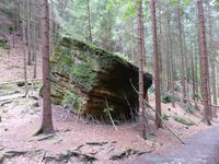
| Are these supports serious...?
|
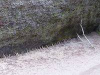
| ...at least these are not.
|
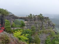
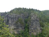
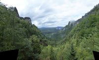
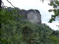
| Pevnost/Beckstein from afar
|
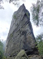
| ... and the sharp corner of it
|
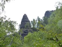
| Homole cukru/Zuckerhut/Sugarloaf
|
|
The maximum number of images (30) is exceeded ! I didn't know there was a maximum number of images... okay, then I'll just split the gallery. Now comes the river part.
| walking down to the Kamenice gorge
|
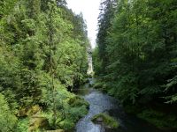
| the gorge is just wide enough for the river and a path
|
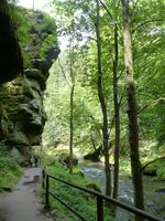
| in some places the path had to be cut into the rock
|
| ...and the punt boat ride begins!
|
| artificial waterfall activated by rope
|
| petrified father, mother, 4 daughters and crookbacked grandmother
|
| wooden weir damming the river to allow boatrides
|
| end of the hike, now back across the Elbe
|
|
tracklog
Triton tracklog. In the Kamenice Gorge there was almost no reception. Those few readings that were saved (at least 2 near the boat ride start) were lost when the batteries died. Then the GPS unit didn't find enough satellites until I was back in Hřensko.
