2016-05-28 53 10

From Geohashing
Sat 28 May 2016 in 53,10:
53.9265268, 10.4076102
geohashing.info google osm bing/os kml crox


Location

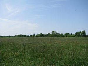
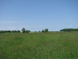
The hash lay on a meadow near the village Steinbek.

Participants

GeorgDerReisende

Plans

Staying in Lübeck I found out, that there was a reachable hash. I wanted to hitchhike.

Expedition

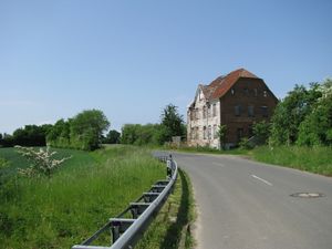
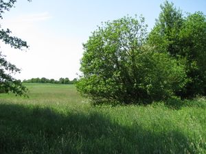
2016-05-28 53 10 GeorgDerReisende 3979.jpg 2016-05-28 53 10 GeorgDerReisende 3991.jpg I started to hitchhike at Lübeck and ended at Langniendorf. Then I walked 7 1/2 kilometers to the hash. At the end I found some abandoned houses with a bus stop. Behind the houses I found this field with the hash behind.
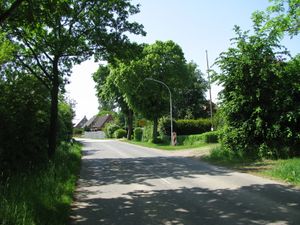
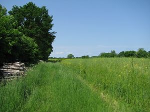
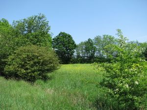
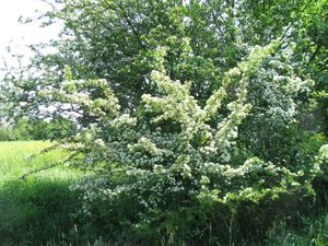
2016-05-28 53 10 GeorgDerReisende 3993.jpg 2016-05-28 53 10 GeorgDerReisende 3996.jpg The field way to the hash started just at the beginning of the village. Along the field way I fought through thistles and nettles.
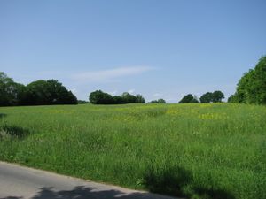
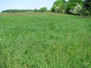
2016-05-28 53 10 GeorgDerReisende 3999.jpg 2016-05-28 53 10 GeorgDerReisende 4004.jpg But at the end I found a big meadow with islands of reed in it. On the way to the hash I walked around such an island, because I thought, this area could be wet.
2016-05-28 53 10 GeorgDerReisende 4005.jpg 2016-05-28 53 10 GeorgDerReisende 4008.jpg Behind this island of reed I could walk straight to the hash. No need for a dance. And I looked around:
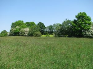
2016-05-28 53 10 GeorgDerReisende 4009.jpg to the west 2016-05-28 53 10 GeorgDerReisende 4010.jpg to the north 2016-05-28 53 10 GeorgDerReisende 4011.jpg to the east
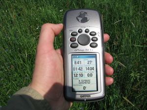
2016-05-28 53 10 GeorgDerReisende 4012.jpg and to the south. 2016-05-28 53 10 GeorgDerReisende 4014.jpg This is the geohasher.

Achievements

Landgeohash.png
GeorgDerReisende earned the Land geohash achievement
by reaching the (53, 10) geohash on 2016-05-28.
TwoToN.png
GeorgDerReisende earned the Two to the N achievement
by reaching 28 hashpoints on 2016-05-28 53 10 and is promoted to Level 8 (Coordinates reached).