Location
On a meadow near Hetschburg, Thuringia. Very close to the Ilmtal cycling route.
Participants
- Juja, Benjy and Frankie Mouse
Expedition
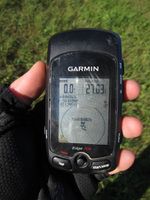
Just before I started my bike trip to my parents' I had the lucky idea to check the weekend coordinates, et voilà, the Friday coordinate was practically on the way. For real this time, I didn't even have to use weird alternative routes, just a little (about 100m) deviation from my standard Friday route and the Geohash would be mine! It was a very hot day, I emptied my first bottle of water before I reached the point and then once again my inability to interpret maps showed: the almost invisible grey line that I saw in Googlemaps and took for a contour line turned out to be a railroad track, but luckily Hetschburg is a tiny village and it's not too dangerous to just pass railroad tracks wherever there might be a Geohash on the other side, so I did that, took the usual photos and went on.
Photos
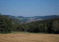
| Nice view back to Jena, paid with lots of sweat.
|
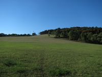
| Clear skies and a big meadow - an easy 0m-shot.
|
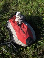
| Benjy and Frankie are sweaty, too.
|
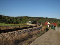
| The edge of Hetschburg and the railroad track.
|
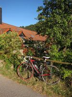
| My bike at the Obermühle (mill) in Hetschburg.
|
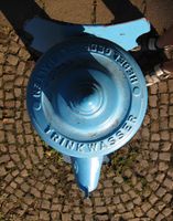
| Luckily I found some water to refill my bottles.
|
|
