2023-10-02 50 8
| Mon 2 Oct 2023 in Frankfurt am Main: 50.2047382, 8.7788554 geohashing.info google osm bing/os kml crox |
Location
In a field next to the Nidda north of Gronau
Participants
Plans
A free sunny Monday and the Hashpoint close to a nice cycling tour I did before. Pretty easy, mostly a normal ~32 km bike tour while collecting the hashpoint on the way.
Expedition
To the hash point
From my home i rode my bike the usual route to Burgholzhausen, then over the hill to Petterweil. From there i followed the Heitzhoferbach downstream to the east. After some uncomfortable riding along some big roads (I really need to find a better way to get through that part for future expeditions), I joined the river Nidda in Klein-Karben.
From there I followed the known path down the Nidda, butleft the main path at the southern end of Klein-Karben to ride alongside the Nidda on the other side through some fields.
Then, just after crossing the Mühlbach i was already approaching the hashpoint. Riding as far as the asphalt and semi-smooth grass paths went and crossing the final fields on foot.
At the hash point
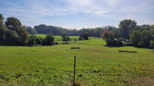
The hashpoint was just of a path, but to get to that path i already had to cross a field by foot. The hashpoint was in a field which i assume was already harvested for the year and then planted with some random grasses, maybe for feed or erosion protection, either way i could easily get to the hashpoint without causing damage to the crops.
After taking all the prerequisite pictures, I did not stay any longer, since same as yesterday there was no shade anywhere closeby. I knew I would get back on the main Nidda path and there would be nice shaded benches there for lunch. So I just got back on my bike and tried to get back on the main path.
Way back
The first part of that ride was over some rough dirt/grass-path between the fields. But since I had all the time, I took it slow. Therefore, other than being a bit bumpy, it wasn't too bad, at least everything was dry.
As planned, I took my lunch break next to the Nidda on a nicely shaded bench. I knew the Nidda path is a popular biking route, but it was still impressive how many people rode past me while I enjoyed my sandwich. Even two people in enclosed recumbent bikes.
I followed the Nidda to Dortelweil, where I left it westwards. After crossing the train line, I took the short but intense climb to Nieder-Erlenbach. Rather than entering Nieder-Erlenbach directly, I rode around it through the fields and pastures, only joining the Erlenbach further to the north.
Then i just followed the Erlenbach upstream through Ober-Erlenbach on the usual route. I even stayed with the Erlenbach a bit further, taking a slightly longer but far more scenic and serene route. Then just a quick hop over the A5 and I was back on my regular route back home through Seulberg.
Photos
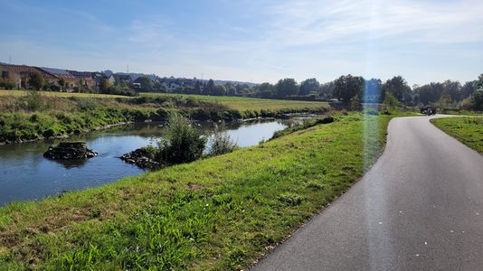
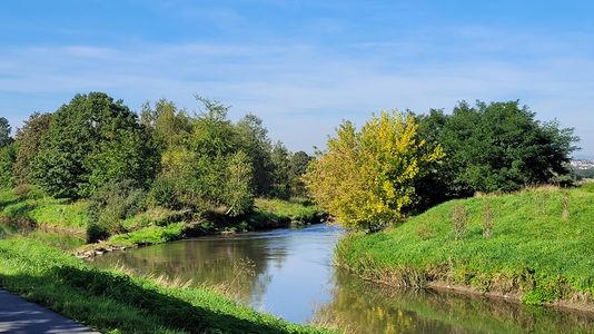
Nidda
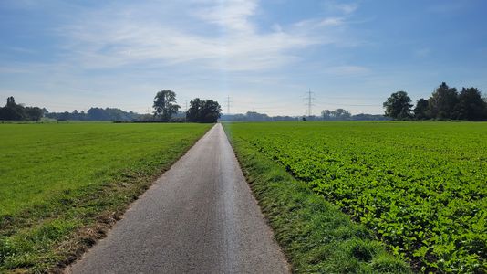
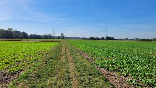
Fields between Nidda and Rendel
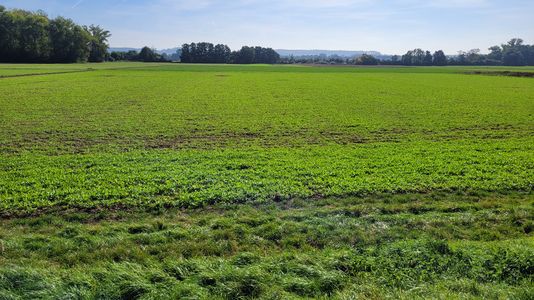
Hashpoint roughly in the center
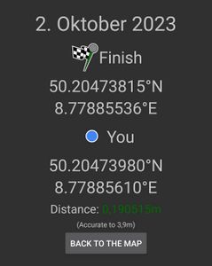
Proof
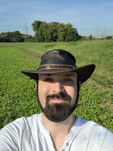
Stupid Grin™
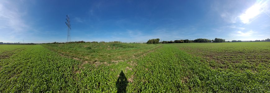
Panorama at the hashpoint
Rough dirt/grass path
View for lunch
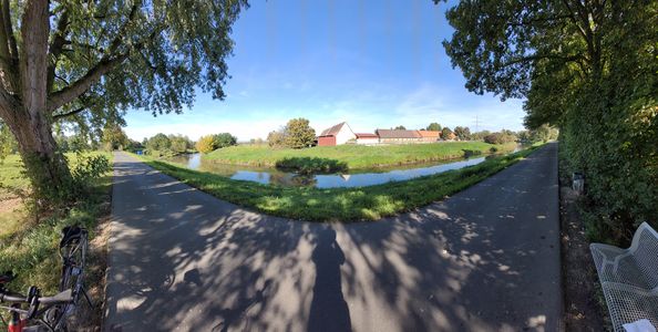
Panorama at the lunch spot
Horses on pastures


Tracklog
Monotof earned the Consecutive geohash achievement
|