Talk:Newark, New Jersey
Contents
Pre-Trip and Mid-Trip Discussion/Announcements
If you want to coordinate with other hashers before you depart, where's the place to do that? Also, does anyone in this graticule use FRS radio? If not any ideas as to how to communicate in-transit?--LangleyLGLF 16:53, 16 June 2008 (UTC)
Could we get an IRC chat channel for this graticule for that purpose? That would probably be one of the better ways to communicate in real time. This talk page always works too, though. Meteorswarm 17:50, 21 June 2008 (UTC)
- There is a facebook page, I'd say try to work out a Saturday meetup on Friday either here or there. Unfortunately, I'm limited to email & text messages, but I'll do what I can. -- Jevanyn 14:06, 25 June 2008 (UTC)
Is anyone interested in 2009-06-28 40 -74? It appears to be in the woods in Lincoln Park. There's some talk on the Facebook group about trying a meet, so I thought I'd mention it here as well. -- Knitting Duck 08:37, 27 June 2009 (UTC)
- Update: From what I can tell, the woods ought to be open to public access. The weather report is good. It looks like this one's a go! Anyone joining me? -- Knitting Duck 06:21, 28 June 2009 (UTC)
How about a patriotic geohash for July 4th? 2009-07-04 40 -74 looks viable... --Knitting Duck 23:38, 3 July 2009 (UTC)
NJ Open Spaces/Green Acres
I'm trying to figure out if the whole Open Spaces and Green Acres thing means that there is no "No Trespassing" signs posted on the land that falls under the two. I see various categories of Open Spaces (like on this map) and am wondering if it's OK for one to go on to these pieces of land and not run afoul of the trespassing laws. This kind of thing didn't exist in Texas, so I don't have the slightest as to how it works. -- GISninja 15:12, 30 March 2009 (UTC)
- As near as I can tell, that map is part of a land development plan. I don't know if it has anything to do with trespassing policy. I would expect that state, county, municipal property are all public property, (not necessarily with federal property), but I wouldn't stake my life on it. I think the white spaces are all undeveloped, so they ought to be fair game for geohashing as well.
- After some more looking around throughout the day I found the New Jersey Farmland Preservation Program Overview page with this quote: "The public has no right to access or use a deed-restricted farm without the landowner's consent." Guess I was wondering because I believe yesterday's coordinates fell on a Preserved Farmland and today's was also a farm (though not "Preserved" it seems) that isn't far from the road I take to go home. Something to know for the future I guess. -- GISninja 20:44, 30 March 2009 (UTC)
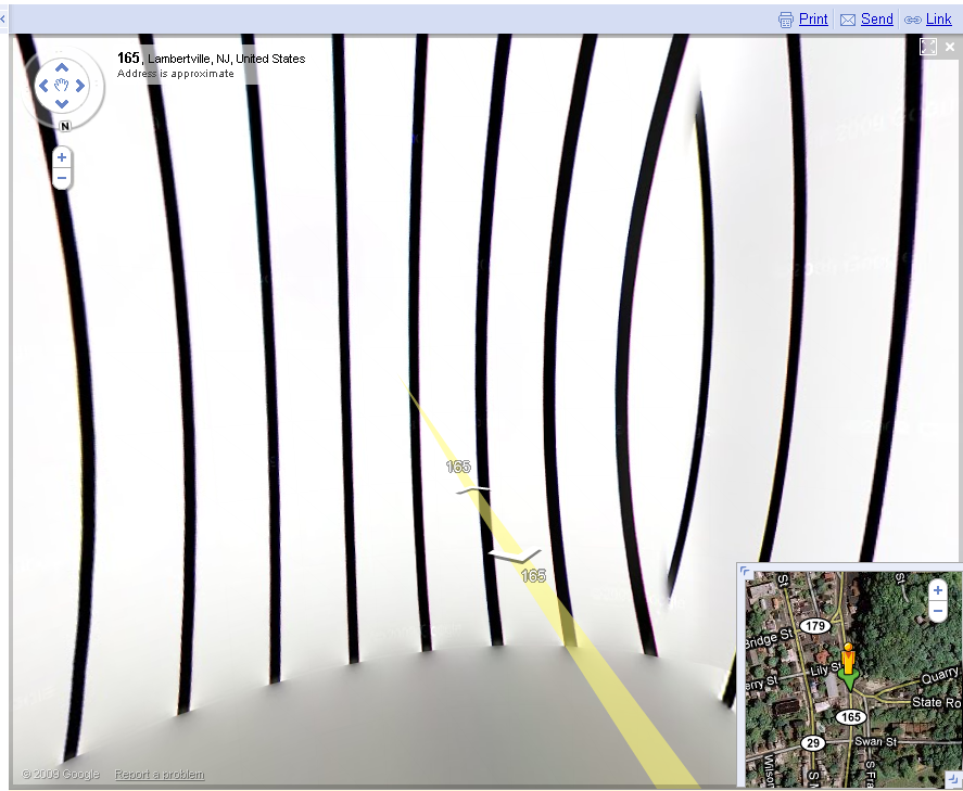
Image Artifact, US 202 bridge, near 2009-12-04
That is really strange, especially since everything around it looks fine. I'll send Mulder and Scully to look into it. -- Jevanyn 14:45, 7 December 2009 (UTC)

Facebook Group
Is essentially no more. I posted there weekly or so, with only responses from one other geohasher and no increases in the number of attempts. -- Jevanyn 16:41, 4 November 2011 (EDT)