Difference between revisions of "Gent, Belgium"
From Geohashing
imported>FrederikVds |
imported>FrederikVds (→May 24th meeting) |
||
| Line 23: | Line 23: | ||
== May 24th meeting == | == May 24th meeting == | ||
| − | + | {{:2008-05-24_51_3}} | |
[[Category:Europe]] | [[Category:Europe]] | ||
[[Category:Belgium]] | [[Category:Belgium]] | ||
[[Category:Netherlands]] | [[Category:Netherlands]] | ||
Revision as of 18:50, 24 May 2008
| North Sea | North Sea | Noord West Nederland |
| – | Gent, Belgium | Zuid west Nederland / Antwerpen |
| – | Lille, France | Brussels, Belgium |
[[Category:Meetup in {{{lat}}} {{{lon}}}| ]]
This graticule, with coordinates 51, 3 contains the cities of Ghent, Bruges and Terneuzen. It covers the north-western part of Oost-Vlaanderen, the north-eastern part of West-Vlaanderen and the western part of Zeeland. Some of its area is in the North Sea.
About 50% of the graticule is unreachable because it's either sea or river.
Contents
Sea suggestion
A discussion is going on about sea locations on the talk page.
May 31th meeting
Participants
Please leave a note here when you think about coming
May 24th meeting
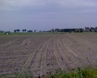
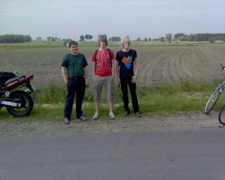
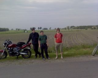
This meetup took place in the Ghent, Belgium graticule on May 24th 2008. The exact coordinates where N51°7'35.93", E3°32'51.11".
Location
The location was a field in Zomergem, bordering the Daalmstraat.
Participants
There were 4 people:
- FrederikVds and a friend
- Grif
- Adhemar
Photos
| Sat 24 May 2008 in Ghent, Belgium: 51.1266480, 3.5475331 geohashing.info google osm bing/os kml crox |


