Difference between revisions of "2010-09-18 66 25"
From Geohashing
imported>Isopekka |
imported>Isopekka |
||
| Line 41: | Line 41: | ||
* Expedition took 2 hours | * Expedition took 2 hours | ||
* Physical efforts needed(1-5): 2 | * Physical efforts needed(1-5): 2 | ||
| + | |||
==Photos == | ==Photos == | ||
| Line 58: | Line 59: | ||
</Gallery> | </Gallery> | ||
| + | |||
== Achievements == | == Achievements == | ||
| + | {{land geohash | ||
| − | + | | latitude = 66 | |
| − | + | | longitude = 25 | |
| − | + | | date = date 2010-09-18 | |
| + | | name = isopekka | ||
| + | |||
| + | }} | ||
Revision as of 13:44, 31 December 2010
| Sat 18 Sep 2010 in 66,25: 66.4477529, 25.3978725 geohashing.info google osm bing/os kml crox |
Contents
Location
About 15 km W from the city of Rovaniemi, Finland. Near the shooting area for hunters to practise.
Participants
- isopekka & dog
Expedition
I took my dog to the car and started my expedition. On the way I saw two mooses to run across the road, but unfortunately could not take a photo. At the hashpoint we were 14:30 pm. Nothing special happened, I did not meet anyone in the forest.
- By car total 47 km
- Walking total 2 km
- Expedition took 2 hours
- Physical efforts needed(1-5): 2
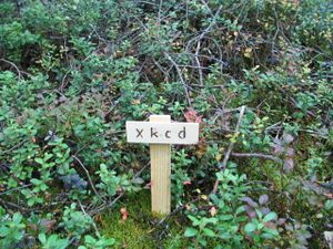
Photos
Achievements
isopekka earned the Land geohash achievement
|
Other Geohashing Expeditions and Plans on This Day
Expeditions and Plans
| 2010-09-18 | ||
|---|---|---|
| Newark, New Jersey | Someone went | Behind Papa John's on NJ-18 in East Brunswick, just past Ferris St. |
| Norwich, United Kingdom | Sourcerer | About 3 km west of Bungay, Suffolk,UK. |
| Rovaniemi, Finland | isopekka | About 15 km W from the city of Rovaniemi, Finland. Near the shooting area f... |


