imported>Relet |
imported>Relet |
| Line 62: |
Line 62: |
| | {{GalleryItem | File:2011_04_30_60_09_R1063021.JPG | ... }} | | {{GalleryItem | File:2011_04_30_60_09_R1063021.JPG | ... }} |
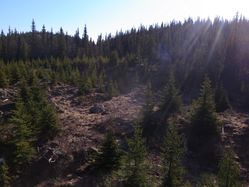
| | {{GalleryItem | File:2011_04_30_60_09_R1063024.JPG | ... }} | | {{GalleryItem | File:2011_04_30_60_09_R1063024.JPG | ... }} |
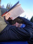
| | + | {{GalleryItem | File:2011_04_30_60_09_R1063025.JPG | ... }} |
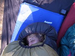
| | {{GalleryItem | File:2011_04_30_60_09_R1063027.JPG | ... }} | | {{GalleryItem | File:2011_04_30_60_09_R1063027.JPG | ... }} |
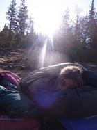
| | {{GalleryItem | File:2011_04_30_60_09_R1063028.JPG | ... }} | | {{GalleryItem | File:2011_04_30_60_09_R1063028.JPG | ... }} |
Revision as of 20:58, 3 May 2011
Location
In a swamp, in the Veikulåsen Nature Reserve, Norway.
Participants
lyx
relet
Plans
Take the train to Gol, hike towards the hash, camp, hike back.
Expedition
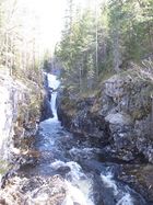
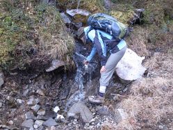
- Norway - always a cool drink next to your way. -- relet 14:16, 30 April 2011 (MESZ)
- Mission aborted, pretending a cliff thwarted us. Returning to the sunny meadows. :) -- relet @60,6770,9,0629 16:25, 30 April 2011 (MESZ)
Tracklog
Photos
