Difference between revisions of "2011-06-24 50 10"
From Geohashing
imported>Paintedhell (Added Notmyexpedition.) |
imported>FippeBot m (Location) |
||
| (One intermediate revision by one other user not shown) | |||
| Line 14: | Line 14: | ||
What he told me about it: the point was located in the middle of forest. My dad went there by bike, and said he could ride the bike almost to the point (yeah, a new mountainbike, he's gotta have some fun). His GPS showed a distance of four meters to the Hashpoint - so he reached it within GPS accuracy. The big GPS dance for the actual "0m" screen was not possible because of a drop-off he couldn't possibly go down with his bike. | What he told me about it: the point was located in the middle of forest. My dad went there by bike, and said he could ride the bike almost to the point (yeah, a new mountainbike, he's gotta have some fun). His GPS showed a distance of four meters to the Hashpoint - so he reached it within GPS accuracy. The big GPS dance for the actual "0m" screen was not possible because of a drop-off he couldn't possibly go down with his bike. | ||
| − | + | == Blurry "proof" photos == | |
| − | |||
| − | |||
| − | |||
{{gallery|width=200|height=200|lines=3 | {{gallery|width=200|height=200|lines=3 | ||
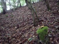
| − | |Image:110624_50_10_1. | + | |Image:110624_50_10_1.jpg|GPS device lying around at approximate hash point position, not proving anything. |
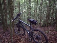
| + | |Image:110624_50_10_2.jpg|Bike in the forest, not going any further. | ||
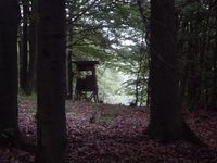
| + | |Image:110624_50_10_3.jpg|Nearby deerstand that proves nothing. | ||
}} | }} | ||
| − | |||
[[Category:Expeditions]] | [[Category:Expeditions]] | ||
| − | + | [[Category:Expeditions with photos]] | |
[[Category:Coordinates reached]] | [[Category:Coordinates reached]] | ||
| + | {{location|DE|TH|HBN}} | ||
Latest revision as of 06:54, 9 August 2019
| Fri 24 Jun 2011 in 50,10: 50.5266369, 10.8253118 geohashing.info google osm bing/os kml crox |
Location
In the forest between Neundorf and Steinbach, not far away from "Hohe Straße". Very near to Juja's parents' home...
Not my expedition
...so it was quite a shame that I wouldn't be able to visit that hash. But since my dad currently owns more GPS devices than I do, I tried to persuade him to visit the hash for me, which he did.
What he told me about it: the point was located in the middle of forest. My dad went there by bike, and said he could ride the bike almost to the point (yeah, a new mountainbike, he's gotta have some fun). His GPS showed a distance of four meters to the Hashpoint - so he reached it within GPS accuracy. The big GPS dance for the actual "0m" screen was not possible because of a drop-off he couldn't possibly go down with his bike.
Blurry "proof" photos
|


