Difference between revisions of "2012-07-29 52 1"
From Geohashing
imported>Sourcerer |
imported>Sourcerer |
||
| Line 24: | Line 24: | ||
[[File:2012-07-29 52 1 Sourcerer.jpg]] | [[File:2012-07-29 52 1 Sourcerer.jpg]] | ||
| + | |||
| + | == Achievements == | ||
| + | |||
| + | {{Midnight geohash | ||
| + | | latitude = 52 | ||
| + | | longitude = 1 | ||
| + | | date = 2012-07-29 | ||
| + | | name = Sourcerer | ||
| + | }} | ||
== Other geohashing expeditions on the same day == | == Other geohashing expeditions on the same day == | ||
Revision as of 23:51, 28 July 2012
| Sun 29 Jul 2012 in Norwich: 52.5350379, 1.5237714 geohashing.info google osm bing/os kml crox |
Contents
Location
South east of Hardley Flood and the River Chet, near Loddon, Norfolk, UK.
Participants
Expedition
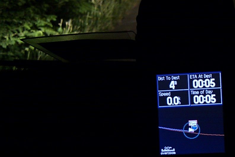
- Arrived. -- Sourcerer @52.5350,1.5238 00:05, 29 July 2012 (GMT+01:00)
Today was busy, giving websites make-overs, translating English into Czech and confusing velice with felace much to my amusement when I looked them up in the dictionary. After dozing off in front of the TV, I looked for the weekend hashpoints and found this one, only a few kilometres away and asking for a midnight attempt. It was in the hedgerow beside a quiet country lane and I arrived at 5 past midnight. There was a setting half moon and I spotted a hare in the sugar beet field at the hashpoint. Soon afterwards, I saw a ferret. The entire expedition took about 40 minutes. Midnight hashes do not photograph well!
Photos
Achievements
Sourcerer earned the Midnight Geohash achievement
|
Other geohashing expeditions on the same day
Expeditions and Plans
| 2012-07-29 | ||
|---|---|---|
| Atlanta, Georgia | NWoodruff | Down in a drainage ditch off to the side of a road in Union City. |
| Portland, Oregon | Jim | Portland's east side in a residential area |
| Zürich, Switzerland | Calamus, Waldzitherclown | In a forest near Bülach. |
| Mannheim, Germany | Fivetonsofflax | In the woods between Mannheim and Viernheim. |
| Schweinfurt, Germany | Reinhard | On a meadow near Vachdorf (Thuringia). |
| Norwich, United Kingdom | Sourcerer | South east of Hardley Flood and the River Chet, near Loddon, Norfolk, UK. |
