Difference between revisions of "2013-09-13 50 11"
imported>Jens (→Expedition: Jens, Juja and Ninja) |
imported>Jens (→Achievements) |
||
| Line 61: | Line 61: | ||
== Achievements == | == Achievements == | ||
{{cubicle geohash | latitude = 50 | longitude = 11 | date = 2013-09-13 | name = Jens and Juja | honor = true}} | {{cubicle geohash | latitude = 50 | longitude = 11 | date = 2013-09-13 | name = Jens and Juja | honor = true}} | ||
| − | + | {{couch potato geohash | latitude = 50 | longitude = 11 | date = 2013-09-13 | name = Jens | honor = true }} | |
[[Category:Expeditions]] | [[Category:Expeditions]] | ||
[[Category:Expeditions with photos]] | [[Category:Expeditions with photos]] | ||
[[Category:Coordinates reached]] | [[Category:Coordinates reached]] | ||
Revision as of 16:23, 15 September 2013
| Fri 13 Sep 2013 in 50,11: 50.9382053, 11.5765872 geohashing.info google osm bing/os kml crox |
Location
Almost in Jena, at the end of the road leading up to "Landgrafen" and about 620m (as the crow flies) away from Juja's and Jens' cubicle.
Participants
Expedition: Jens, Juja and Ninja
When searching geocaches, there is a specific type of cache, called “Mystery cache”, that works in the following way: You get the coordinates of a point that is in the same area as the target only to get an approximately impression, where the cache is located. To get the exact coordinates, you have to solve a puzzle. Here in Jena (I don’t know how this is elsewhere) it is nearly impossible to solve the puzzle and so you will never ever find the cache.
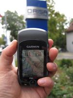
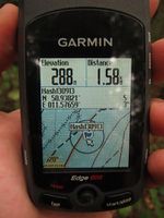
Today I learned that there are Mystery hashpoints too. They work in the following way: You get the exact coordinates of the point but the point emits a mystery radiation that will cause an immense GPS signal drifting. Whenever you get 5 meter or closer to the point, the mystery radiation beams you to a distance of 50 meters away from the point. So you will never ever get a 0 meter screenshot.
Here is our example of today’s Mystery hashpoint. The point lay on the Landgrafen hill, 620 meters away from our office. So Juja and I decided to go there at lunch break. While having lunch we collected Jujas usual Ninja and now were 3 persons on the starting line.
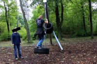
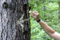
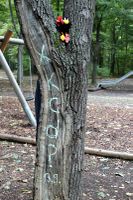
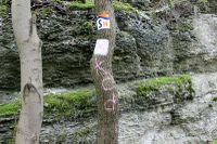
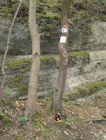
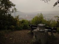
On the map the point lay clearly on a well known mud path or maximum 1 meter beside it, so it looked very easy. In reality, as we came closer and closer to the point tzzzzzzzzzz the mystery radiation sent us further on to the children’s playground on top of the hill. For sure to have some fun there, what else?. We made use of the toys provided there, marked a tree and a bench and Juja got a 4 meter proofing shot, still knowing that it must be wrong. And then tzzzzzzzz, the mystery radiation thought that now playtime is over. On exactly the same place where we were at a distance of 4 meters to the point 30 seconds before, we now had a distance of 40 meters.
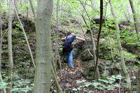
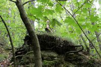
We moved back to the center of evil. I stopped at the place were the point would have been, if we would have ignored the technical support and only believed the map. My device still showed a distance of 16 meters, but I knew it was lying. Juja started another try to get closer to the point and climbed up the stones beside the path. There she took another proof photo with a distance of 3 meters to a virtual point that was another projection by the evil mystery radiation from the well hidden real point.
After that was done, we left another couple of marks at the second target area and went back from the chaos to the office.
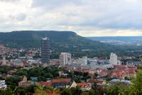
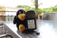
Addition: I just noticed, that this point I worth a "Couch Potato Honorable Mention" achievement for Jens, so a have added a photo, taken on my balcony, that shows the distance of 850 meters.
Photos
|
Expedition: Manu and Bergie
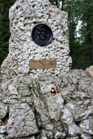
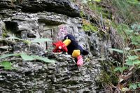
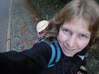
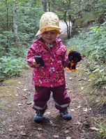
After their nice afternoon nap Manu and Bergie still had three hours of spare time, the weather was sunny and Juja told them, that the members of her expedition could finally reach the coordinates. So what to do next? Geo hashing! 15 minutes later Manu was on the way, carrying Bergie, who insisted on taking along hashcot Moonlight. The three hashers took the direct way from their home (1.4 km as the crow flies) - so they had to climb the "Landgrafen". Nevertheless, they easily reached the coordinates, found some marks (arrows pointing in every direction...) and took the usual photos. On the way back Bergie wanted to walk on her own, but often was distracted by stones, leaves or pine cones ... the upshot was that there came a rain storm, which made Manu and Bergie drowned rats (Moonlight hid in the bag).
Photos
|
Achievements
Jens and Juja earned the cubicle geohash honorable mention
|
Jens earned the Couch Potato Geohash Honorable Mention
|
