Difference between revisions of "2014-09-21 -43 172"
imported>Quaternary (Created page with "[[Image:{{{image|2014_09_21_-43_172_08.JPG}}}|thumb|left]] <!-- And DON'T FORGET to add your expedition and the best photo you took to the gallery on the Main Page! We'd lov...") |
imported>Quaternary |
||
| Line 1: | Line 1: | ||
| − | [[Image:{{{image|2014_09_21_-43_172_08. | + | [[Image:{{{image|2014_09_21_-43_172_08.jpg}}}|thumb|left]] |
<!-- | <!-- | ||
| Line 40: | Line 40: | ||
<gallery> | <gallery> | ||
| − | Image:2014_09_21_-43_172_Geolocation1. | + | Image:2014_09_21_-43_172_Geolocation1.png | |
| − | Image:2014_09_21_-43_172_Geolocation2. | + | Image:2014_09_21_-43_172_Geolocation2.png | |
</gallery> | </gallery> | ||
| Line 49: | Line 49: | ||
<gallery caption="Photo Gallery" widths="320px" heights="213px" perrow="3"> | <gallery caption="Photo Gallery" widths="320px" heights="213px" perrow="3"> | ||
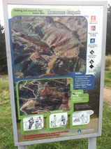
| − | Image:2014_09_21_-43_172_01. | + | Image:2014_09_21_-43_172_01.jpg | At the car park we happened upon a map which confirmed the geohash was on public land - excellent. |
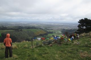
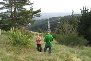
Image:2014_09_21_-43_172_02.JPG | The Rob Hall Memorial, looking towards the city. | Image:2014_09_21_-43_172_02.JPG | The Rob Hall Memorial, looking towards the city. | ||
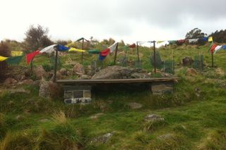
| − | Image:2014_09_21_-43_172_03. | + | Image:2014_09_21_-43_172_03.jpg | The Rob Hall Memorial |
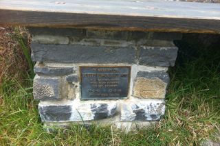
| − | Image:2014_09_21_-43_172_04. | + | Image:2014_09_21_-43_172_04.jpg | Plaque |
Image:2014_09_21_-43_172_05.JPG | Zeroing in on the spot | Image:2014_09_21_-43_172_05.JPG | Zeroing in on the spot | ||
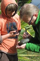
Image:2014_09_21_-43_172_06.JPG | Annotating the geohash marker | Image:2014_09_21_-43_172_06.JPG | Annotating the geohash marker | ||
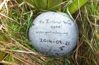
| − | Image:2014_09_21_-43_172_07. | + | Image:2014_09_21_-43_172_07.jpg | The geohash |
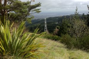
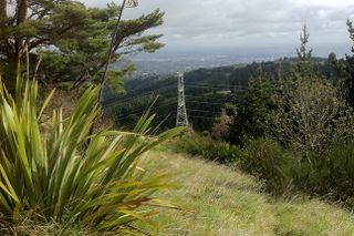
| − | Image:2014_09_21_-43_172_08. | + | Image:2014_09_21_-43_172_08.jpg | View of the flax habouring the geohash marker |
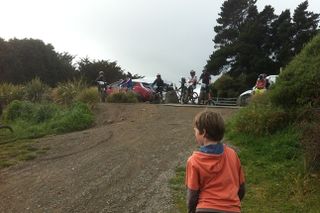
| − | Image:2014_09_21_-43_172_09. | + | Image:2014_09_21_-43_172_09.jpg | Back at the carpark, we are hemmed in by vans and bikes |
</gallery> | </gallery> | ||
Revision as of 08:00, 5 October 2014
| Sun 21 Sep 2014 in -43,172: -43.5961697, 172.6433531 geohashing.info google osm bing/os kml crox |
Location
Port Hills, Christchurch, New Zealand
Participants
The Quaternary (talk) family geohashers
Plans
Today's geohash is in the Port Hills that overlook Christchurch, which is public reserve - this should be simple!
Expedition
From Google Maps it looked like the geohash was near some sort of walking track - and it turned out this was the case - above Victoria Park.
There was a mountain bike track through, and it looked like today was race day!
As we walked towards the geohash, we happened upon a memorial to mountaineer Rob Hall, who died on Mt Everest in 1996. The memorial included a circle of Nepalese prayer flags. So this was a real treat to find this.
Continuing another few hundred metres and we zeroed in on the geohash, which I reckoned was at the base of a flax, with a beautiful lookout over Christchurch city.
Tracklog
Photos
- Photo Gallery
