Difference between revisions of "2016-09-23 -43 172"
imported>Quaternary (Created page with "[[Image:{{{image|2016_09_23_-43_172_07.JPG}}}|thumb|left]] <!-- And DON'T FORGET to add your expedition and the best photo you took to the gallery on the Main Page! We'd lov...") |
imported>FippeBot m (Location) |
||
| (2 intermediate revisions by one other user not shown) | |||
| Line 25: | Line 25: | ||
== Plans == | == Plans == | ||
| − | Wohoo - a hash right next to a walkway in the hills above town. I thought we'd wait until we had a quorum of the Quaternary geohashers (well I guess I quorum is one), and so we left it until the end of the day, so that we could enjoy a family walk | + | Wohoo - a hash right next to a walkway in the hills above town. I thought we'd wait until we had a quorum of the Quaternary geohashers (well I guess I quorum is one, but that is not so much fun), and so we left it until the end of the day, so that we could enjoy a family walk while striking out to the hash. |
== Expedition == | == Expedition == | ||
| Line 80: | Line 80: | ||
[[Category:Expeditions with photos]] | [[Category:Expeditions with photos]] | ||
[[Category:Coordinates reached]] | [[Category:Coordinates reached]] | ||
| + | {{location|NZ|CAN}} | ||
Latest revision as of 01:30, 16 August 2019
| Fri 23 Sep 2016 in -43,172: -43.5945564, 172.7025874 geohashing.info google osm bing/os kml crox |
Location
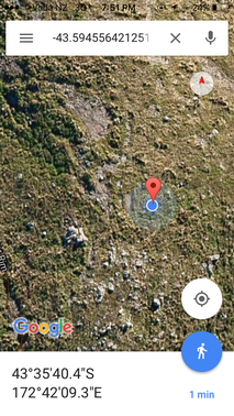
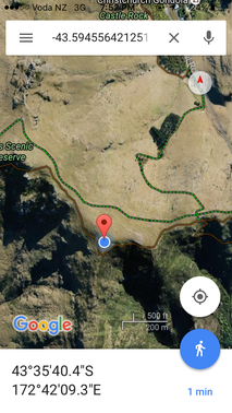
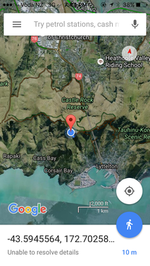
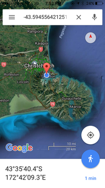
Crater Rim Walkway, above Cass Bay, Christchurch
Participants
The Quaternary (talk) family geohashers
Plans
Wohoo - a hash right next to a walkway in the hills above town. I thought we'd wait until we had a quorum of the Quaternary geohashers (well I guess I quorum is one, but that is not so much fun), and so we left it until the end of the day, so that we could enjoy a family walk while striking out to the hash.
Expedition
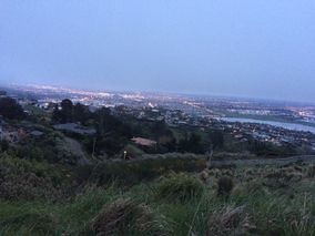
That evening three of us set out. Waiting until work was done for the day meant we didn't set out until it was about 6:15pm. Fifteen minutes before sunset, 45 minutes until it would be dark - should only be a 30 minute drive to get there, followed by a 10 minute walk - sweet.
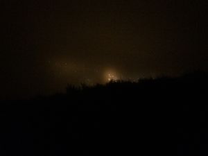
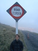
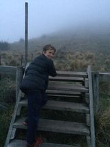
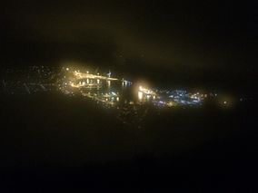
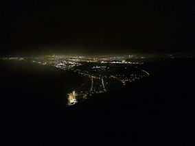
Unfortunately, as we got about two kilometres from the hash, we found the road was closed - d'oh - of course - this road has been closed since the Christchurch earthquake of 2011. Nevermind, we'd have to finish it off on foot. So climbing the stile of the Crater Rim Walkway, that would take us to within about 40 metres of the hash, we set off ... the falling mist made it seem even gloomier ...
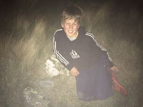
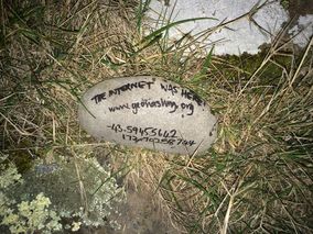
Well it was a bit of an adventure scrambling about the hills in the dark, but the hashers were happy ("so glad I came," declared the youngest hasher; his mother grunted a reply so as to mean "me too").
But it seems such a shame, dear reader, to deprive you of the lovely countryside. But don't fret, this is the third hash we've done on the southern flanks of these hills, so check out 2015-10-18 -43 172 and 2015-10-31 -43 172, a few kilometres to the east and a few kilometres to the west of this locale, to see what it looks like during the day.
Tracklog
Photos
Achievements
Quaternary earned the Electric Vehicle Achievement
|
