Difference between revisions of "2008-06-11 31 -84"
From Geohashing
imported>Tjtrumpet2323 (per Robyn's request...) |
imported>Tjtrumpet2323 m |
||
| Line 6: | Line 6: | ||
}} | }} | ||
| − | + | {{air geohash | latitude = 31 | longitude = -84 | date = 2008-06-11 | name = Robyn | image = 2008-06-11 31 -84.jpg }} | |
| − | + | '''The first Air Geohash flyover!''' | |
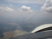
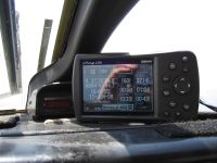
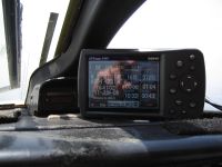
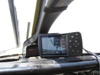
On June 11th I was pilot in command of a commercial flight and had deviated north of track for weather. At that time I saw that it was a very minor deviation to go right over that day's hashpoint in an "Unknown" graticule of southwest Georgia, USA. So I did. Here's proof. | On June 11th I was pilot in command of a commercial flight and had deviated north of track for weather. At that time I saw that it was a very minor deviation to go right over that day's hashpoint in an "Unknown" graticule of southwest Georgia, USA. So I did. Here's proof. | ||
Revision as of 00:46, 13 June 2008
| Wed 11 Jun 2008 in 31,-84: 31.4657200, -84.7263600 geohashing.info google osm bing/os kml crox |
Robyn earned the Air geohash achievement
|
The first Air Geohash flyover!
On June 11th I was pilot in command of a commercial flight and had deviated north of track for weather. At that time I saw that it was a very minor deviation to go right over that day's hashpoint in an "Unknown" graticule of southwest Georgia, USA. So I did. Here's proof.
Pictures
Robyn's smile reflecting in the GPS.


