Difference between revisions of "2009-07-26 34 -84"
From Geohashing
imported>NWoodruff m (→Gallery) |
m (Replacing http://wiki.xkcd.com/geohashing/Roswell%2C_Georgia with Roswell, Georgia) |
||
| (5 intermediate revisions by 3 users not shown) | |||
| Line 10: | Line 10: | ||
== Graticule == | == Graticule == | ||
| − | [ | + | [[Roswell, Georgia|Roswell]] |
== About == | == About == | ||
| − | + | Near the Chattahoochee river north west of Sugar Hill Georgia. | |
== People == | == People == | ||
| Line 40: | Line 40: | ||
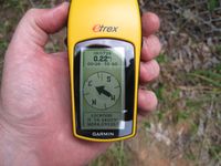
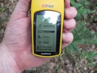
Image:20090726_34_-84NW13.JPG| Date of the meetup. | Image:20090726_34_-84NW13.JPG| Date of the meetup. | ||
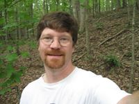
Image:20090726_34_-84NW14.JPG| Me with Stupid Grin™ | Image:20090726_34_-84NW14.JPG| Me with Stupid Grin™ | ||
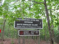
| − | Image:20090726_34_-84NW15.JPG| | + | Image:20090726_34_-84NW15.JPG| I know the sign said to stay to the trails but I was not more than 50 feet off of the trail. I really got lucky this time. |
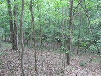
| − | Image:20090726_34_-84NW16.JPG| | + | Image:20090726_34_-84NW16.JPG| Picture of actual Geohash spot. |
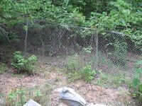
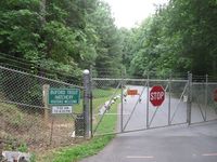
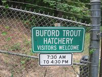
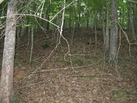
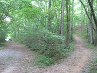
| − | Image:20090726_34_-84NW17.JPG| | + | Image:20090726_34_-84NW17.JPG| Here is where the trail and the gravel road meet. And to the left you can see the gravel road entrance into the fish hatchery. No fences were climbed in making this Geohash. |
</gallery> | </gallery> | ||
| Line 52: | Line 52: | ||
[[Category:Coordinates reached]] | [[Category:Coordinates reached]] | ||
[[Category:Expeditions with photos]] | [[Category:Expeditions with photos]] | ||
| + | {{location|US|GA|FO}} | ||
Latest revision as of 12:21, 19 February 2020
| Sun 26 Jul 2009 in Roswell: 34.1404944, -84.0894649 geohashing.info google osm bing/os kml crox |
Graticule
About
Near the Chattahoochee river north west of Sugar Hill Georgia.
People
Expeditions
Gallery
- Photo Gallery
Achievements
NWoodruff earned the Land geohash achievement
|
