Difference between revisions of "2010-10-25 34 -84"
From Geohashing
imported>NWoodruff (Created page with '{{meetup graticule | map=<map lat="34" lon="-84" date="2010-10-25" /> | lat=34 | lon=-84 | date=2010-10-25 | graticule_name=Roswell | graticule_link=Roswell, Georgia }} == Grati…') |
m (Replacing http://wiki.xkcd.com/geohashing/Roswell%2C_Georgia with Roswell, Georgia) |
||
| (10 intermediate revisions by 4 users not shown) | |||
| Line 10: | Line 10: | ||
== Graticule == | == Graticule == | ||
| − | [ | + | [[Roswell, Georgia|Roswell]] |
== About == | == About == | ||
| Line 18: | Line 18: | ||
* [[User:NWoodruff|NWoodruff]] | * [[User:NWoodruff|NWoodruff]] | ||
| + | * [[User:ElSupreme|ElSupreme]]; went on his lunch break. He found a Sonic close to his office! | ||
| + | ==Expeditions== | ||
| − | + | ||
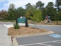
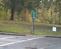
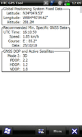
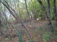
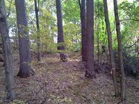
| + | * [[User:ElSupreme|ElSupreme]] I set out during my lunch hour to the spot which was only about 5 miles from my office, in a public park, and within 10m of a path. So it seemed like an easy hash. I went on some back roads and found a Sonic, decided that I would eat in the park. While waiting for my food it began to rain. Saddened I ate my food in the car. By the time I was done the rain had stopped and the sun was coming out. I proceeded onward, and when I got close to the spot I was distracted by a geocache. After rummaging through it, I proceded to find the geohash location, which was about 5m away from the geocache. Took some photos and got back to work only about 4 minutes over my hour! | ||
== Gallery == | == Gallery == | ||
<gallery caption="Photo Gallery" widths="200px" heights="200px" perrow="3"> | <gallery caption="Photo Gallery" widths="200px" heights="200px" perrow="3"> | ||
| − | Image:20101010_34_- | + | Image:IMG_0259.JPG | Logan Farm Park Trail. |
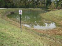
| + | Image:20101010_34_-84NW02.JPG | No Swimming allowed, although it was warm enough to go swimming today. | ||
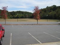
| + | Image:20101010_34_-84NW03.JPG | A nice big open park. | ||
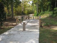
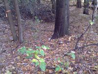
| + | Image:20101010_34_-84NW04.JPG | The walking trail leading to the Geohash spot. | ||
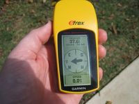
| + | Image:20101010_34_-84NW05.JPG | 37 feet to go from the walking trail. Unfortunately, not in the 10 meter requirement. | ||
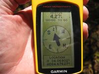
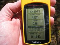
| + | Image:20101010_34_-84NW06.JPG | 4.27 feet to go. Close enough. | ||
| + | Image:20101010_34_-84NW07.JPG | Time of the meetup. | ||
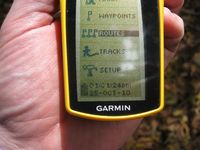
| + | Image:20101010_34_-84NW08.JPG | Date of the meetup. | ||
| + | Image:20101010_34_-84NW09.JPG | A picture of the walking path, standing on the Geohash spot. | ||
| + | Image:20101010_34_-84NW10.JPG | A picture of the geohash spot. | ||
| + | Image:20101010_34_-84NW11.JPG | Me standing on the Geohash spot with a Stupid Grin™ | ||
| + | </gallery> | ||
| + | <gallery caption="ElSupreme's Photo Gallery" widths="200px" heights="200px" perrow="3"> | ||
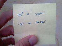
| + | File:2010-10-25 34-84 Location.jpg | My high tech way of remembering where I should be going. | ||
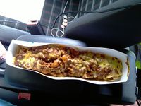
| + | File:2010-10-25 34-84 Picnic.jpg | My attempt at eating food at the park, but the Frito pie was eaten in my car due to rain. | ||
| + | File:2010-10-25 34-84 ParkSign.jpg | The turn in to the park. The rain let up and the sun came out. | ||
| + | File:2010-10-25 34-84 GPS.png | Myself at the geohash location. | ||
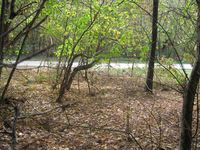
| + | File:2010-10-25 34-84 Location01.jpg | Looking north-ish at the location. | ||
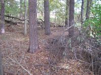
| + | File:2010-10-25 34-84 Location02.jpg | Looking east-ish at the location. Just right and down is the geocache location. | ||
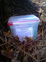
| + | File:2010-10-25 34-84 LocationGeocache.jpg | You can barely see the geocache due to the angle. It is only about 5m away. | ||
| + | File:2010-10-25 34-84 GeocacheClose.jpg | Close up of the geocache. | ||
</gallery> | </gallery> | ||
== Awards == | == Awards == | ||
| + | |||
| + | {{Hash collision | latitude = 34 | longitude = -84 | date = 2010-10-25 | name = [[User:ElSupreme|ElSupreme]]}} | ||
| + | There is a geocache site about 5m away from the geohash site. | ||
[[Category:Expeditions]] | [[Category:Expeditions]] | ||
[[Category:Coordinates reached]] | [[Category:Coordinates reached]] | ||
[[Category:Expeditions with photos]] | [[Category:Expeditions with photos]] | ||
| + | {{location|US|GA|CB}} | ||
Latest revision as of 12:28, 19 February 2020
| Mon 25 Oct 2010 in Roswell: 34.0693036, -84.6762742 geohashing.info google osm bing/os kml crox |
Contents
Graticule
About
A few feet off of a walking path in a park north of Acworth
People
Expeditions
- ElSupreme I set out during my lunch hour to the spot which was only about 5 miles from my office, in a public park, and within 10m of a path. So it seemed like an easy hash. I went on some back roads and found a Sonic, decided that I would eat in the park. While waiting for my food it began to rain. Saddened I ate my food in the car. By the time I was done the rain had stopped and the sun was coming out. I proceeded onward, and when I got close to the spot I was distracted by a geocache. After rummaging through it, I proceded to find the geohash location, which was about 5m away from the geocache. Took some photos and got back to work only about 4 minutes over my hour!
Gallery
- Photo Gallery
- ElSupreme's Photo Gallery
Awards
ElSupreme earned the Hash collision achievement
|
There is a geocache site about 5m away from the geohash site.
