Difference between revisions of "2018-08-31 50 12"
imported>Fippe (coordinates reached) |
(Report, finally, after 1.5 years) |
||
| (One intermediate revision by one other user not shown) | |||
| Line 15: | Line 15: | ||
== Expedition== | == Expedition== | ||
===[[User:Danatar|Danatar]]=== | ===[[User:Danatar|Danatar]]=== | ||
| + | ''This report is 1.5 years late (but the gallery was there at least), mostly because I didn't have time to write it in the weeks after the expedition and then it was like "it's been overdue for so long, it can wait a bit more". Sorry. Now that the wiki is back after the dark ages, I'll finally write it as far as I remember.'' | ||
| − | ... | + | After visiting the [[2018-08-31 50 11]] hashpoint, I was on the Autobahn again. I left it already at the Wüstenbrand exit because I wanted to keep the detour to as few kilometers as possible, having the time for it. It was not difficult to reach Hartmannsdorf and I parked the car near the hashpoint. The spot was in an allotment garden (called Braugut = "good brewing" or "brewing manor"), but the gate was open. I first tried to reach the spot from one side, where a small parking lot was, but I couldn't get near enough. Then I tried it from the path on the other side but there was a fence between me and the spot. I had to walk to and fro for a while but finally, half sitting in a bush, I was at the spot. Then I returned to the car and drove on to Dresden. |
| Line 33: | Line 34: | ||
|Image:2018-08-31_50_12_pano.jpg|panorama | |Image:2018-08-31_50_12_pano.jpg|panorama | ||
}} | }} | ||
| − | |||
| − | |||
===tracklog=== | ===tracklog=== | ||
| − | + | [http://www.mygpsfiles.com/app/#https://dl.dropboxusercontent.com/sh/l38ubdidvmv439v/AAAVXoq4GK0NG-pI4KIqjnQda/2018/2018-08-31_50_11-50_12-triton.gpx triton tracklog of both parts of the double hash] | |
[[Category:Expeditions]] | [[Category:Expeditions]] | ||
| Line 43: | Line 42: | ||
[[Category:Coordinates reached]] | [[Category:Coordinates reached]] | ||
[[Category:Danatar]] | [[Category:Danatar]] | ||
| + | {{location|DE|SN|FG}} | ||
Latest revision as of 13:05, 22 March 2020
| Fri 31 Aug 2018 in Chemnitz: 50.8845144, 12.8053193 geohashing.info google osm bing/os kml crox |
Location
Today's location is in an allotment garden at Hartmannsdorf near Chemnitz.
Country: Germany; state: Sachsen (Saxony, EU:DE:SN); district: Mittelsachsen; municipality: Hartmannsdorf
Expedition
Danatar
This report is 1.5 years late (but the gallery was there at least), mostly because I didn't have time to write it in the weeks after the expedition and then it was like "it's been overdue for so long, it can wait a bit more". Sorry. Now that the wiki is back after the dark ages, I'll finally write it as far as I remember.
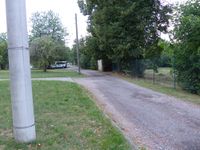
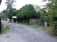
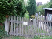
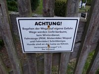
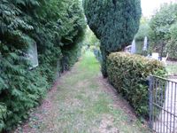
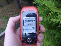
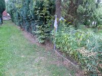
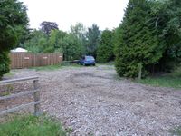
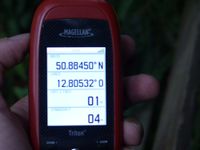
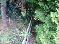
After visiting the 2018-08-31 50 11 hashpoint, I was on the Autobahn again. I left it already at the Wüstenbrand exit because I wanted to keep the detour to as few kilometers as possible, having the time for it. It was not difficult to reach Hartmannsdorf and I parked the car near the hashpoint. The spot was in an allotment garden (called Braugut = "good brewing" or "brewing manor"), but the gate was open. I first tried to reach the spot from one side, where a small parking lot was, but I couldn't get near enough. Then I tried it from the path on the other side but there was a fence between me and the spot. I had to walk to and fro for a while but finally, half sitting in a bush, I was at the spot. Then I returned to the car and drove on to Dresden.
|
