Difference between revisions of "2020-05-26 53 13"
(New Expedition) |
(Added pictures) |
||
| Line 34: | Line 34: | ||
== Photos == | == Photos == | ||
| − | |||
{{#vardefine:gaWidth|300}} | {{#vardefine:gaWidth|300}} | ||
{{#vardefine:gaHeight|200}} | {{#vardefine:gaHeight|200}} | ||
{{#vardefine:gaLines|2}} | {{#vardefine:gaLines|2}} | ||
{{Gallery2| | {{Gallery2| | ||
| − | {{GalleryItem | Image: | + | {{GalleryItem | Image:2020-05-26 53 13 greifswald.JPG | Still in Greifswald.}} |
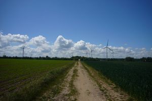
| − | }}-- | + | {{GalleryItem | Image:2020-05-26 53 13 helmshagenII.JPG | Near Helmshagen II.}} |
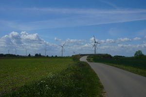
| − | + | {{GalleryItem | Image:2020-05-26 53 13 cross.JPG | About to cross the highway.}} | |
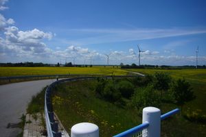
| − | '' | + | {{GalleryItem | Image:2020-05-26 53 13 crossed.JPG | And the other side of the highway. Rapeseed fields still bloomed.}} |
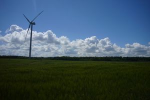
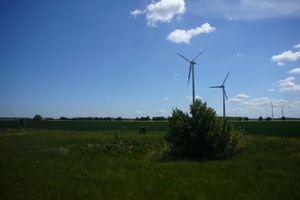
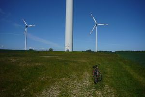
| + | {{GalleryItem | Image:2020-05-26 53 13 wind.JPG | The hash fell at the base of the turbine on the left behind the bush.}} | ||
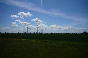
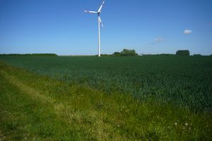
| + | {{GalleryItem | Image:2020-05-26 53 13 winds.JPG | View of the wind farm.}} | ||
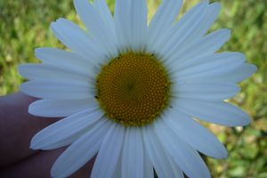
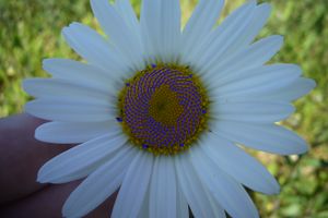
| + | {{GalleryItem | Image:2020-05-26 53 13 flower.JPG | Beautiful daisy I found. Anyone on the mood of counting spirals?}} | ||
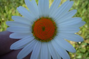
| + | {{GalleryItem | Image:2020-05-26 53 13 CW.JPG | 21 spirals clockwise. I have a good feeling about it ;)}} | ||
| + | {{GalleryItem | Image:2020-05-26 53 13 CCW.JPG | And 34 Counter-clockwise! The [[wikipedia:Fibonacci_number#Nature|prophecy]] is true!}} | ||
| + | {{GalleryItem | Image:2020-05-26 53 13 N54.JPG | Crossing the Parallel N54.}} | ||
| + | {{GalleryItem | Image:2020-05-26 53 13 arrive.JPG | Arriving on the hash location.}} | ||
| + | {{GalleryItem | Image:2020-05-26 53 13 hashsite.JPG | Hash location.}} | ||
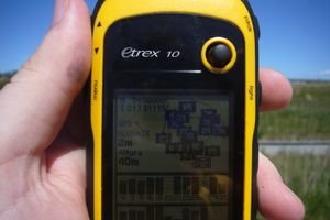
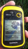
| + | {{GalleryItem | Image:2020-05-26 53 13 proof.jpg | Proof with GPS.}} | ||
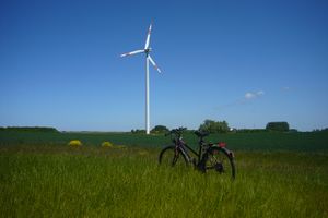
| + | {{GalleryItem | Image:2020-05-26 53 13 bike.JPG | ''Winterbuche'' at the location.}} | ||
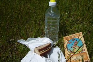
| + | {{GalleryItem | Image:2020-05-26 53 13 lunch.JPG | Survival lunch I took with me.}} | ||
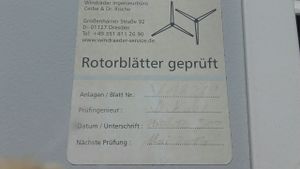
| + | {{GalleryItem | Image:2020-05-26 53 13 check.jpg | Last time the turbine was checked: 14-0?-2012. Next check scheduled for May 2014..}} | ||
| + | }} | ||
== Achievements == | == Achievements == | ||
{{#vardefine:ribbonwidth|800px}} | {{#vardefine:ribbonwidth|800px}} | ||
| − | + | {{land geohash | latitude = 53 | longitude = 13 | date = 2020-05-26 | name = SastRe.O | image = 2020-05-26 53 13 hashsite.JPG}} | |
| + | {{bicycle geohash | latitude = 53 | longitude = 13 | date = 2020-05-26 | name = SastRe.O with Winterbuche | distance = 44km | bothways = true | image = 2020-05-26 53 13 bike.JPG}} | ||
| + | {{Picnic_geohash | latitude = 53 | longitude = 13 | date = 2020-05-26 | name = SastRe.O | image = 2020-05-26 53 13 lunch.JPG | food = 3 sandwiches and 1 book}} | ||
== Other Geohashing Expeditions and Plans on This Day == | == Other Geohashing Expeditions and Plans on This Day == | ||
| Line 55: | Line 69: | ||
[[Category:Expeditions with photos]] | [[Category:Expeditions with photos]] | ||
[[Category:Coordinates reached]] | [[Category:Coordinates reached]] | ||
| − | |||
| − | |||
| − | |||
| − | |||
| − | |||
| − | |||
| − | |||
| − | |||
| − | |||
| − | |||
| − | |||
| − | |||
Revision as of 16:32, 26 May 2020
| Tue 26 May 2020 in Greifswald, Germany: 53.9956233, 13.3082186 geohashing.info google osm bing/os kml crox |
Location
At the base of a wind turbine in Görmin, MV, Germany.
Participants
Expedition
It's time to visit again my south neighbour graticule. This has fell very close to the parallel and was in reachable distance by bike in an area where I still had not been. I wasn't quite sure during the weekend if I would go after this one, since the weather wasn't that optimal these days, but today on the contrary! Very sunny and not to warm, ideal.
So I grabbed Winterbuche quite late, almost at 12:00 and went towards the hash. Up until Sestelin I took a very similar path to the one I took when I went after this hash almost a year ago. Now, after Sestelin, it began the area that was still undiscovered by me. Here passed by Neu- and Alt Negentin. At the entrance of Alt Negentin I crossed the parallel N54 for the first time. I would be crossing in again later while visiting some wind turbines in the area.
After Alt Negentin I crossed the Highway and the other site I looked for a geocache (unsuccessfully..). Then I visited some of the wind turbines. They are quite impressive seen right from under them. Such giants and what seems slow movements but are actually quite fast. Mesmerizing.
Then I went after the Wind Turbine where the hash fell. That was lucky that it didn't fell in the field. I located the area, danced a little bit with my GPS until I got the right location and took proof. And since I was there and it was already 14:00 I had lunch there. A little pick-nick. Well, a survival lunch we could say. Some sandwiches and water. I forgot to bring a piece of fruit that would give me some sugar for the way back. Well, no big deal.
And the weather was so inviting that after lunch I had some rest and read for a while. Just some Mittagsruhe. I could have just easily fall a sleep but that would not had been a good idea, since after 30 minutes of reading I started to notice that I was possibly getting some sunburn and decided it was time to grab Winterbuche again and head home.
And for the way back home I took exactly the same path as seen in the tracklog. So nothing new. Scared some deer and hares that I encountered. It was not my intention ¿^^
Tracklog
Photos
|
Achievements
SastRe.O earned the Land geohash achievement
|
SastRe.O with Winterbuche earned the Bicycle geohash achievement
|
SastRe.O earned the Picnic achievement
|
Other Geohashing Expeditions and Plans on This Day
Expeditions and Plans
| 2020-05-26 | ||
|---|---|---|
| Schweinfurt, Germany | GeorgDerReisende | The hash lay on the Nordplatz in Eisenach. |
| Neubrandenburg, Germany | SastRe.O | At the base of a wind turbine in Görmin, MV, Germany. |
| Sortavala, Russia | Kripakko | In a forest in the backwoods of Kitee, also about three kilometres from the... |
