Difference between revisions of "2020-06-04 51 9"
From Geohashing
(expedition report for Göttingen) |
m (Location) |
||
| Line 44: | Line 44: | ||
[[Category:Coordinates reached]] | [[Category:Coordinates reached]] | ||
| + | {{location|DE|NI|GÖ}} | ||
Latest revision as of 20:42, 14 September 2020
| Thu 4 Jun 2020 in 51,9: 51.5150521, 9.9241952 geohashing.info google osm bing/os kml crox |
Location
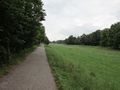
The hash lay on the dyke of the flood canal of the river Leine in Göttingen.
Participants
Plans
Travel by train and by bus to Göttingen and a walk.
Expedition
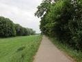
I traveled by bus to the southern border of Göttingen and from there I walked to the hash.
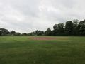
Photos
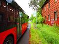
arrived at the southern end of Göttingen
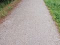
the hash on the way
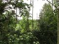
looking east
east and up
south
west
north
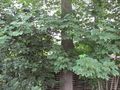
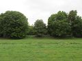
the big tree marks the site of the hash on the way
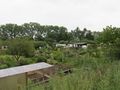
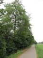
private gardens between the river Leine and its floodcanal

the geohasher
looking to the site from the south


