Difference between revisions of "2011-03-23 59 17"
From Geohashing
imported>Vswe |
m (Removing expedition planning category) |
||
| (2 intermediate revisions by 2 users not shown) | |||
| Line 1: | Line 1: | ||
| + | |||
| + | [[Image:{{{image|2011-03-23_59_17_googlemaps.png}}}|thumb|left]] | ||
| + | |||
{{meetup graticule | {{meetup graticule | ||
| lat=59 | | lat=59 | ||
| Line 8: | Line 11: | ||
Just a few meters from the highway in the edge of the city. | Just a few meters from the highway in the edge of the city. | ||
| − | + | ||
== Participants == | == Participants == | ||
| Line 21: | Line 24: | ||
| − | [[Category: | + | [[Category:Not reached - Did not attempt]] |
<!-- | <!-- | ||
[[Category:Expeditions]] | [[Category:Expeditions]] | ||
| Line 27: | Line 30: | ||
[[Category:Coordinates reached]] | [[Category:Coordinates reached]] | ||
--> | --> | ||
| + | {{location|SE|C}} | ||
Latest revision as of 18:11, 6 September 2021
| Wed 23 Mar 2011 in 59,17: 59.8654680, 17.7129840 geohashing.info google osm bing/os kml crox |
Contents
Location
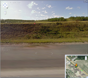
Just a few meters from the highway in the edge of the city.
Participants
Plans
I don't think it's possible to access the hashpoint from the highway since there's no way you can stop there and I don't think I would have any vehicle and driver that could take me that way anyways. Hopefully I will be able to reach it by approaching the highway from the edge of the town somewhat 300 meters away, but I don't have any plans yet so I'm not sure if I will be going or not.
Expedition
I realized I had some other things I had to do so no hashing today :(
