Difference between revisions of "2021-03-11 41 1"
(→Photos) |
m (User categories) |
||
| Line 55: | Line 55: | ||
{{Location|ES|CT|B}} | {{Location|ES|CT|B}} | ||
| + | {{user categories|user=SastRe.O|bike=33.4|train=8.4}} | ||
[[Category:Expeditions]] | [[Category:Expeditions]] | ||
[[Category:Expeditions with photos]] | [[Category:Expeditions with photos]] | ||
[[Category:Coordinates reached]] | [[Category:Coordinates reached]] | ||
Latest revision as of 12:23, 15 February 2022
| Thu 11 Mar 2021 in Barcelona, Catalonia: 41.5272961, 1.9721745 geohashing.info google osm bing/os kml crox |
Location
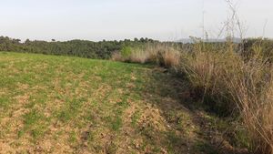
On the edge of a field near Ullastrell (which I am realizing has a very creepy coat of arms, since Ull means "eye" in Catalan).
Participants
Expedition
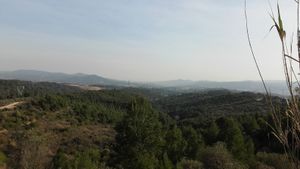
Until Monday we still cannot leave or county but this hash fell inside of it. It was also the perfect opportunity to redeem my last failure. The first half of the expedition was exactly equal as the firs half of last expedition as the tracklog shows.
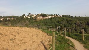
This time, however, I continued the path until reaching the peak of the crest de l'oleguera. And then I entered an urbanisation belonging to Ullastrell, where I had to take the final path that would lead me to the hash.
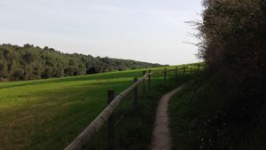
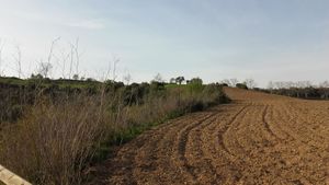
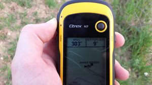
Once on the mentioned field it was a little bit tricky to locate the right approach. I finally took the easy way and walked along the edge of the field untill I reached the hash coordinates. Some dancing and proof recording, and went back to Frühlingskiefer to face to way back.
Before that I searched for a geocache hidden by someone who coincidentally I have been exchanching emails regarding other matters.
The thing here is that I planned a tracklog to follow which I was a bit unsure of. But I realized that I maybe could take another path... Mmm... It obviously ended being a bad idea since I missed a turn and realized too late. I added a few kilometers to my legs, but nothing to bad I was prepared for it ;) The thing is I don't care that much for the extra distance, but the extra elevation gaining. That nerves me a little bit more.
I still reached my destination, which was the train station (the same as then) and took the train back home.
Tracklog
Photos
|
Achievements
SastRe.O earned the Land geohash achievement
|
SastRe.O with Fühlingskiefer earned the Bicycle geohash achievement
|
Other Geohashing Expeditions and Plans on This Day
Expeditions and Plans
| 2021-03-11 | ||
|---|---|---|
| Fort Worth, Texas | Luke, Emily, a dog | A speed bump in the parking lot of the Mustang Villa apartments in Grapevin... |
| Tarragona, Spain | SastRe.O | On the edge of a field near Ullastrell (which I am realizing has a very cre... |
