Difference between revisions of "2023-03-18 48 12"
(new report) |
(+Double Hash) |
||
| Line 36: | Line 36: | ||
{{#vardefine:ribbonwidth|100%}} | {{#vardefine:ribbonwidth|100%}} | ||
{{land geohash|date=2023-03-18|latitude=48|longitude=12|name=[[User:Fippe|Fippe]]|image=2023-03-18 48 12 03 Geohash.jpg}} | {{land geohash|date=2023-03-18|latitude=48|longitude=12|name=[[User:Fippe|Fippe]]|image=2023-03-18 48 12 03 Geohash.jpg}} | ||
| + | {{multihash|date=2023-03-18|latitude1=49|longitude1=12|latitude2=48|longitude2=12|name=[[User:Fippe|Fippe]]}} | ||
{{xkcd-100|date=2023-03-18|latitude=48|longitude=12|name=[[User:Fippe|Fippe]]|image=2023-03-18 48 12 01 Eggenfelden.jpg}} | {{xkcd-100|date=2023-03-18|latitude=48|longitude=12|name=[[User:Fippe|Fippe]]|image=2023-03-18 48 12 01 Eggenfelden.jpg}} | ||
{{minesweeper geohash|graticule=Rosenheim, Germany|ranknumber=3|nw=true|n=true|w=true|name=[[User:Fippe|Fippe]]|image=Rosenheim.png}} | {{minesweeper geohash|graticule=Rosenheim, Germany|ranknumber=3|nw=true|n=true|w=true|name=[[User:Fippe|Fippe]]|image=Rosenheim.png}} | ||
Latest revision as of 17:14, 22 March 2023
| Sat 18 Mar 2023 in 48,12: 48.4092984, 12.6887635 geohashing.info google osm bing/os kml crox |
Location
This Geohash is located on the edge of a forest in Huldsessen.
Participants
Expedition
Trip to München
Königsdorf ·
Übersee ·
Unterthingau ·
Waldmünchen ·
Huldsessen ·
Trosdorf
After visiting 2023-03-18 49 12 in Waldmünchen, I had lots of time to pass until the next train, so I took a detour and walked up to the nearby Czech border. The border crossing was marked, but of course open. Long live Schengen! It was my first time in Czechia, and I had a snack at a hut accross on the Czech side of the border.
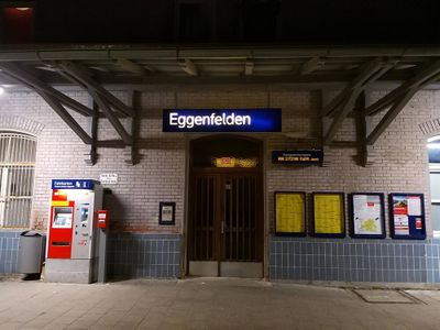
Afterwards, I walked to Waldmünchen, and took the train from there via Cham, Schwandorf, Regensburg, Landshut and Neumarkt-St Veit to Eggenfelden. Many of these train switches only had a short time window to transfer, and I was absolutely astonished that I no train was too late to make the transfer. It was a bit risky, since if I wouldn't arrive in Eggenfelden on time, I would have to turn around without walking to the Geohash, since I had to get back to Munich to sleep there.
But I did arrive in Eggenfelden on time, and had enough time to walk to the Geohash and catch the last train. If there would be any unforeseen obstacles, I could still turn around to catch the last train.
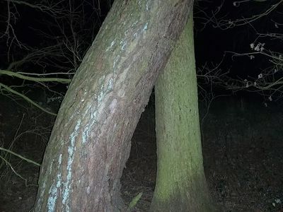
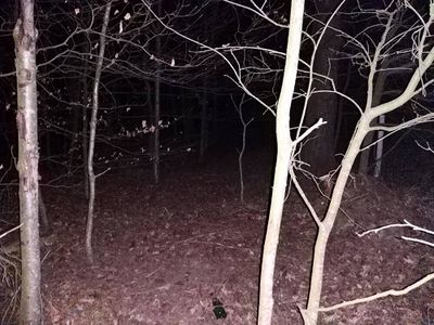
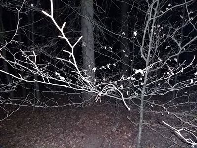
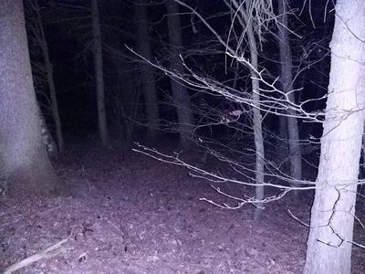
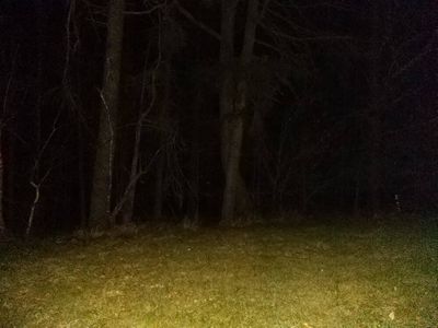
The sun had already set, and it was fairly dark, but I could see enough thanks to light pollution. I first walked through Eggenfelden, then between some fields while I had a good look at the stars. I did wish that there hadn't been the two hour delay in the previous expedition, since I assume the landscape looks even better during the sunset rather than two hours later. When I entered the forest, it was completely dark and I needed my phone's flashlight.
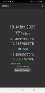
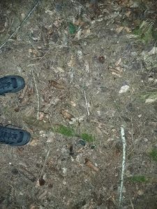
A few steps next to the path, I located the coordinates at the edge of the forest and recorded proof. Afterwards, I took the same way back and ended up catching the last train to Munich, for which I was thankful.
Photos
Tracklog
Ribbons
Fippe earned the Land geohash achievement
|
Fippe earned the Multihash Achievement
|
Fippe earned the XKCD-100 Achievement
|
Fippe achieved level 3 of the Minesweeper Geohash achievement
|
Fippe achieved level 5 of the Minesweeper Geohash achievement
|
Fippe achieved level 5 of the Minesweeper Geohash achievement
|
Fippe achieved level 5 of the Minesweeper Geohash achievement
|
Fippe completed the Minesweeper Geohash achievement
|
Fippe completed the Minesweeper Geohash achievement
|
- Meetup on 2023-03-18
- Meetup in 48 12
- Expeditions with tracklogs
- Land geohash achievement
- Multihash achievement
- Xkcd-100 geohash achievement
- Minesweeper geohash achievement
- Expeditions
- Coordinates reached
- Expeditions with photos
- Meetup in Landkreis Rottal-Inn
- Expeditions by Fippe
- Fippe's expeditions on foot
- Fippe's expeditions by train
