Difference between revisions of "2008-06-07 42 -78"
From Geohashing
m (fix, sorry) |
(per Renaming Proposal) |
||
| Line 22: | Line 22: | ||
[[Category:Expeditions with photos]] | [[Category:Expeditions with photos]] | ||
[[Category:Coordinates reached]] | [[Category:Coordinates reached]] | ||
| − | [[Category: | + | [[Category:Graticule unlocked achievement]] |
{{location|US|NY|AL}} | {{location|US|NY|AL}} | ||
Latest revision as of 02:55, 20 March 2024
| Sat 7 Jun 2008 in 42,-78: 42.5017842, -78.1143708 geohashing.info google osm bing/os kml crox |
Location
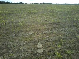
Farm field in Mills Mills, just off Wiscoy-Mills Rd.
Coordinates: (42.5017842290451096,-78.11437084091932023)
2008-06-07 42 -78 map
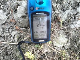
I got there a few minutes after 4:00, maybe 4:05 or so. Saw nobody else, parked on the side of the road, walked into the field, took some pictures, and made a small pile of stones in case anybody came later. Went off hunting geocaches afterward. -- Bunsen
Picture(s)
- Mills Mills field

