Difference between revisions of "2024-03-04 47 13"
(back home now) |
m (per Renaming Proposal) |
||
| Line 50: | Line 50: | ||
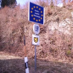
{{border geohash achievement|date=2024-03-04|latitude=47|longitude=13|country1=Austro|country2=German|name=[[User:Fippe|Fippe]]|image=2024-03-04 47 13 03 Border.jpg}} | {{border geohash achievement|date=2024-03-04|latitude=47|longitude=13|country1=Austro|country2=German|name=[[User:Fippe|Fippe]]|image=2024-03-04 47 13 03 Border.jpg}} | ||
{{velociraptor geohash|date=2024-03-04|latitude=47|longitude=13|name=[[User:Fippe|Fippe]]|image=2024-03-04 47 13 14 Raptor.jpg}} | {{velociraptor geohash|date=2024-03-04|latitude=47|longitude=13|name=[[User:Fippe|Fippe]]|image=2024-03-04 47 13 14 Raptor.jpg}} | ||
| − | {{ | + | {{one with nature|date=2024-03-04|latitude=47|longitude=13|name=[[User:Fippe|Fippe]]|image=2024-03-04 47 13 08 Up.jpg}} |
{{minesweeper geohash|graticule=Salzburg, Austria|ranknumber=2|w=true|nw=true|image=Salzburg.png}} | {{minesweeper geohash|graticule=Salzburg, Austria|ranknumber=2|w=true|nw=true|image=Salzburg.png}} | ||
{{minesweeper geohash|graticule=Rosenheim, Germany|ranknumber=4|w=true|nw=true|n=true|e=true|image=Rosenheim.png}} | {{minesweeper geohash|graticule=Rosenheim, Germany|ranknumber=4|w=true|nw=true|n=true|e=true|image=Rosenheim.png}} | ||
Latest revision as of 14:23, 2 April 2024
| Mon 4 Mar 2024 in 47,13: 47.6479362, 13.0611468 geohashing.info google osm bing/os kml crox |
Location
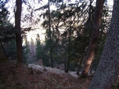
This Geohash is located in a forest on the Obersalzberg.
Participants
Expedition
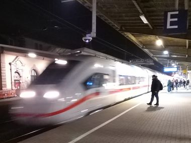
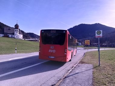
On Sunday evening, I walked to Osnabrück Central and boarded a train. The next morning, I left that train in München and took another train to Salzburg in Austria. From there, I took the bus to Unterau/Enzianbrennerei walked to Unterau, took the bus to Oberau/Abzw Obersalzberg and walked the rest of the distance.
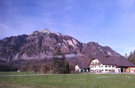
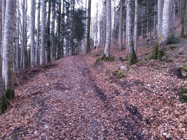
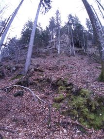
I approached a forested mountain. In the forest, a path led me almost to the coordinates, with only 50 meters left. That sounds better than it was, since there was a natural wall in that direction. I suppose I'm going to climb it, how hard could it be?
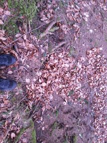
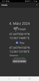
On top of the wall, I reached a semi-plateau. It was still hilly, but not as steep as it had been before. There, I located the coordinates and recorded proof. Phew, time to drink.
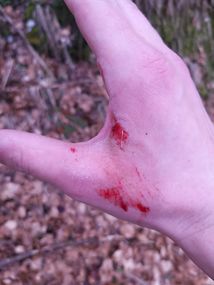
My hopes of finding an easier way down did not prove fruitful, solidifying Stevage's third law, so I now descended the wall. On the way, I was attacked by raptors, but nevertheless reached the forest path in one piece.
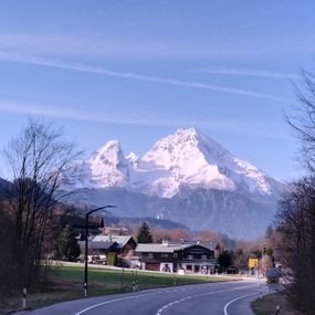
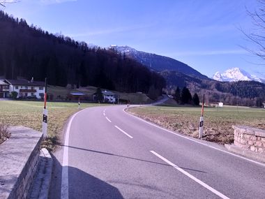
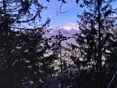
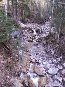
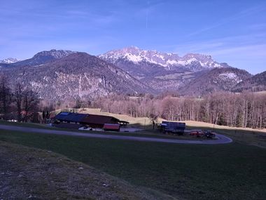
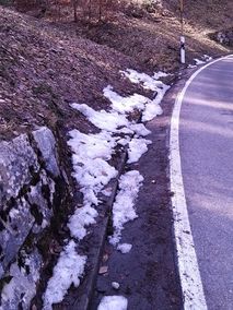
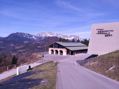
Now, I continued walking up the Obersalzberg, crossing streams, viewing mountains and even seeing some snow despite double-digit temperatures. The Obersalzberg is of course infamous for being the site of the Berghof, one of Hitler's headquarters - though the original buildings were demolished and there is a museum in their place now.
From there, I took the bus via Berchtesgaden to Bad Reichenhall, where I got some bandages for my highly visible raptor claw marks at a pharmacy that refused my money for unknown reasons. I continued by replacement bus to Freilassing, by train via München and Hannover to Osnabrück Central, and walked back home, arriving 25½ hours after the start of the expedition.
Photos
Tracklog
Ribbons
Fippe earned the Land geohash achievement
|
Fippe earned the Public transport geohash achievement
|
Fippe earned the Border geohash achievement
|
Fippe earned the Velociraptor Geohash Achievement
|
Fippe earned the One with Nature Geohash Achievement
|
This user achieved level 2 of the Minesweeper Geohash achievement
|
This user achieved level 4 of the Minesweeper Geohash achievement
|
This user achieved level 6 of the Minesweeper Geohash achievement
|
Fippe earned the XKCD-1000 honorable mention
|
- Meetup on 2024-03-04
- Meetup in 47 13
- Expeditions with tracklogs
- Land geohash achievement
- Public transport geohash achievement
- Border geohash achievement
- Velociraptor geohash achievement
- One with Nature geohash achievement
- Minesweeper geohash achievement
- Gratuitous ribbon achievement
- Xkcd-100 geohash achievement
- Expeditions
- Coordinates reached
- Expeditions with photos
- Meetup in Landkreis Berchtesgadener Land
- Expeditions by Fippe
- Fippe's expeditions by bus
- Fippe's expeditions on foot
- Fippe's expeditions by train
