Difference between revisions of "2024-02-26 53 7"
From Geohashing
(new report) |
(last man standing) |
||
| Line 27: | Line 27: | ||
{{#vardefine:ribbonwidth|100%}} | {{#vardefine:ribbonwidth|100%}} | ||
{{land geohash|date=2024-02-26|latitude=53|longitude=7|name=[[User:Fippe|Fippe]]|image=2024-02-26 53 7 03 Geohash.jpg}} | {{land geohash|date=2024-02-26|latitude=53|longitude=7|name=[[User:Fippe|Fippe]]|image=2024-02-26 53 7 03 Geohash.jpg}} | ||
| + | {{last man standing|date=2024-02-26|latitude=53|longitude=7|name=[[User:Fippe|Fippe]]}} | ||
__NOTOC__ | __NOTOC__ | ||
Latest revision as of 19:37, 19 May 2024
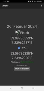
| Mon 26 Feb 2024 in 53,7: 53.0978655, 7.2396274 geohashing.info google osm bing/os kml crox |
Location
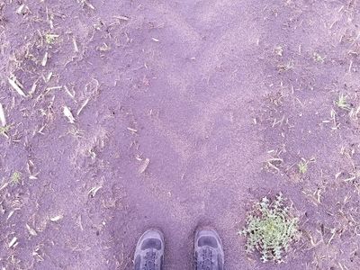
This Geohash is located on a field in Brual.
Participants
Expedition
In thw morning, I took the train via Rheine to Papenburg and cycled the rest of the distance.
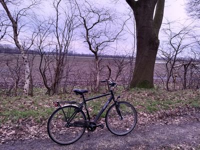
At the Meyer-Werft shipyard, I saw a big ship, the Silver Ray. Once I crossed the river Ems, I cycled along its dike. In Brual, I located the coordinates on a field and recorded proof.
Afterwards, I crossed the Ems again while cycling to Aschendorf, and took the train via Rheine back home to Osnabrück.
Photos
Tracklog
Ribbons
Fippe earned the Land geohash achievement
|
Fippe earned the Last man standing achievement
|


